
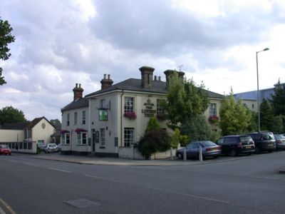
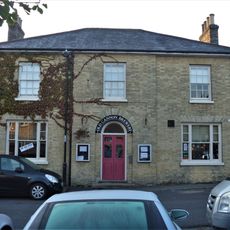
The Linden Tree Public House, pub in Bury St. Edmunds, St. Edmundsbury, Suffolk, UK
Location: Bury St Edmunds
Website: https://linden-tree.co.uk
GPS coordinates: 52.25309,0.71453
Latest update: September 19, 2025 16:02
St Edmunds Head Public House And Stable Block
388 m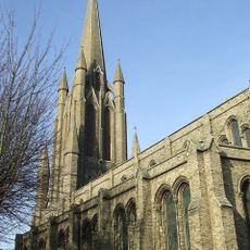
Church of St John
461 m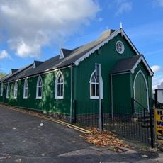
Bury St Edmunds Seventh-day Adventist church
89 m
The Bushel Public House
507 m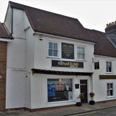
79, Northgate Street
194 m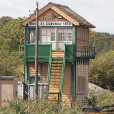
Bury St Edmunds Yard Signal Box
383 m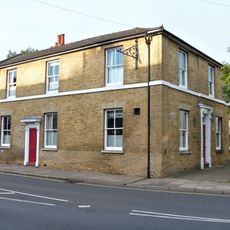
The New Inn And Attached Wall
228 m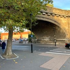
Railway bridge
51 m
53, St Johns Street
420 m
28-31, Cannon Street
395 m
Garden wall, 54 St John's Street
445 m
37, 38 And 39, Cannon Street
349 m
46 And 47, Cannon Street
315 m
Dolphin House
300 m
25, 26 And 27, Northgate Street
402 m
51 And 52, St Johns Street
405 m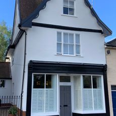
36, St Johns Street
450 m
54, St Johns Street
433 m
Number 41 And Attached Wall
254 m
17, 17A, 18, 18A And 19, Long Brackland
209 m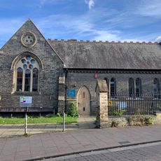
St John's Hall
492 m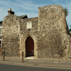
St Saviours Hospital
126 m
Goldsmiths House
248 m
96 And 96A, Northgate Street
340 m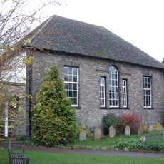
Friends Meeting House
550 m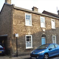
16, Long Brackland
223 m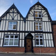
33, St Johns Street
476 m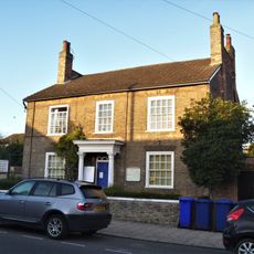
28, Northgate Street
357 mReviews
Visited this place? Tap the stars to rate it and share your experience / photos with the community! Try now! You can cancel it anytime.
Discover hidden gems everywhere you go!
From secret cafés to breathtaking viewpoints, skip the crowded tourist spots and find places that match your style. Our app makes it easy with voice search, smart filtering, route optimization, and insider tips from travelers worldwide. Download now for the complete mobile experience.

A unique approach to discovering new places❞
— Le Figaro
All the places worth exploring❞
— France Info
A tailor-made excursion in just a few clicks❞
— 20 Minutes