
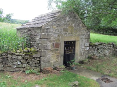
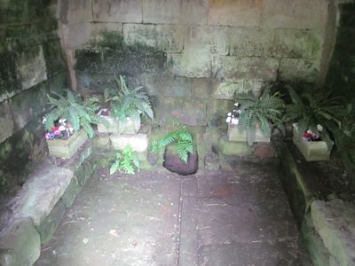
Holy Well West Of Holywell Farmhouse, holy well in Wolsingham, County Durham, UK
Location: Wolsingham
Website: https://megalithic.co.uk/article.php?sid=28311
GPS coordinates: 54.73588,-1.88244
Latest update: March 3, 2025 02:18
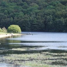
Backstone Bank and Baal Hill Woods
2.9 km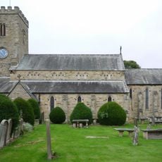
Church of St Mary and St Stephen
587 m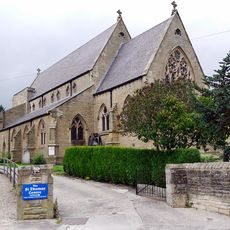
Church of St Thomas of Canterbury
455 m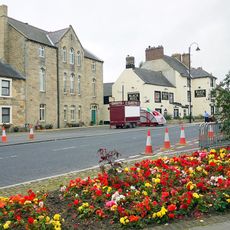
Former Primitive Methodist Chapel
689 m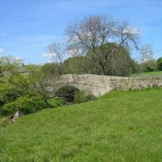
Bradley Burn Bridge
3.4 km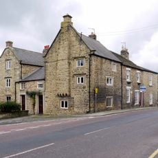
Old Bank House
747 m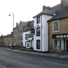
Black Bull Public House
675 m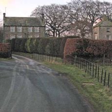
Bishop Oak
1.6 km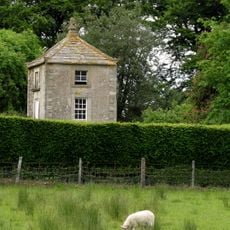
Gazebo/dovecote in garden of Bishop Oak
1.6 km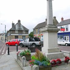
Wolsingham War Memorial
645 m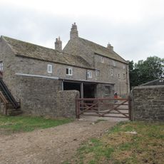
Baal Hill House Farmhouse
704 m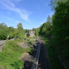
Former Railway Station
1.1 km
8, Meadhope Street
555 m
Bombay House
743 m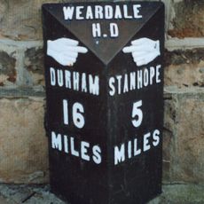
Milestone In Front Of Number 12
743 m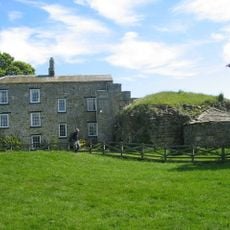
Bradley Hall Farmhouse
3.6 km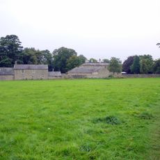
Demesne Hall
557 m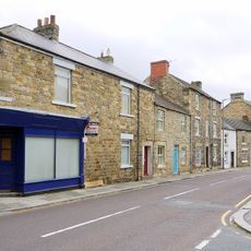
Rivendell
461 m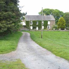
Castle Hill Farmhouse
1.7 km
Little Redgate Farmhouse
699 m
Holywell Farmhouse, Byre And Carthouse
47 m
Bradley Burn Farmhouse
3.3 km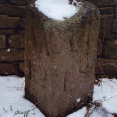
Milestone Circa 110 Metres South Of Greenfield Cottages
3.8 km
Bradley Hall fortified house and underground passages, moated site, pillow mound and fishponds
3.6 km
Gate Piers, Gates And Retaining Walls To Church Of St Mary And St Stephen
621 m
Former Chapel And Buildings Adjoining
726 m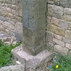
Milestone, Redgate, N end of stone cottage wall
714 m
Whitfield House
722 mReviews
Visited this place? Tap the stars to rate it and share your experience / photos with the community! Try now! You can cancel it anytime.
Discover hidden gems everywhere you go!
From secret cafés to breathtaking viewpoints, skip the crowded tourist spots and find places that match your style. Our app makes it easy with voice search, smart filtering, route optimization, and insider tips from travelers worldwide. Download now for the complete mobile experience.

A unique approach to discovering new places❞
— Le Figaro
All the places worth exploring❞
— France Info
A tailor-made excursion in just a few clicks❞
— 20 Minutes