
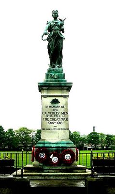
Calverley War Memorial, war memorial in West Yorkshire
Location: Leeds
Creator: Louis Frederick Roslyn
GPS coordinates: 53.82952,-1.69022
Latest update: March 4, 2025 09:59

Calverley Old Hall
365 m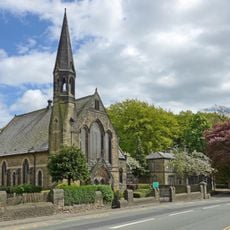
Woodhouse Grove Methodist Church And School Chapel
1.5 km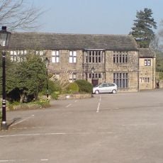
Low Hall Restaurant And Farmhouse
1.8 km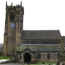
Church of St Wilfrid
361 m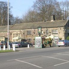
The Stansfield Arms Public House And Integral Barn
1.4 km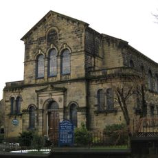
Methodist Church
56 m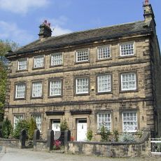
Church House
318 m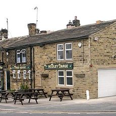
Rodley Barge Public House
2 km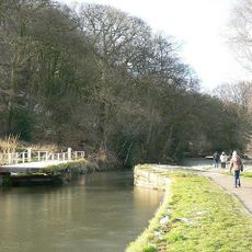
Leeds And Liverpool Canal, Lodge Bridge
912 m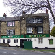
Dog and Gun Public House
1.3 km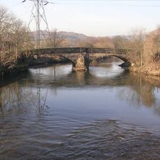
The Bridge
1.4 km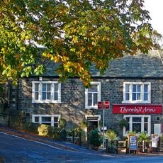
Thornhill Arms
361 m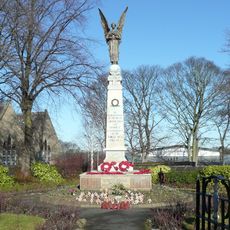
Greengates War Memorial In Garden Of Remembrance
1.5 km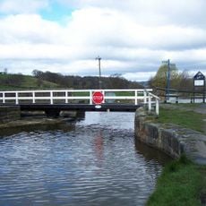
Leeds And Liverpool Canal, Owl Bridge
1.6 km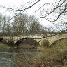
Bridge Over River Aire
1.7 km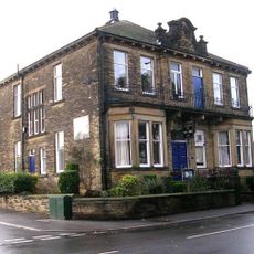
Calverley Conservative Club
241 m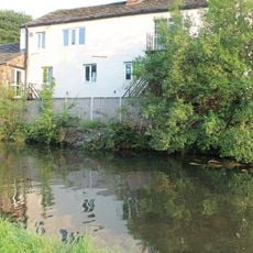
166 And 168, Town Street
2 km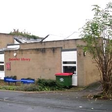
Calverley Library
218 m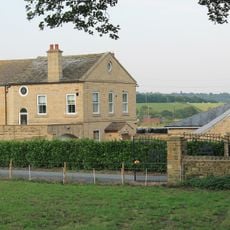
Barn Approximately 5 Metres South East Of Rodley Fold Farmhouse
2 km
291, Apperley Road
1.8 km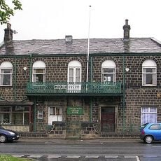
Greengates Liberal Club
1.2 km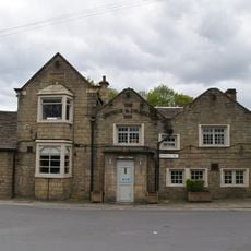
The George And Dragon Inn And Adjoining Stable/Coach House With The Link Building
1.4 km
164, Town Street
2 km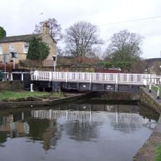
Millman Swing Bridge
1.8 km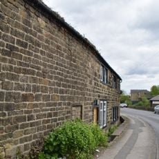
Elm Tree Farmhouse And Adjoining Barn
1.5 km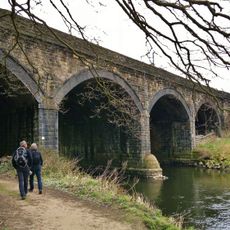
Woodhouse Bridge
1.2 km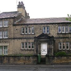
830, Harrogate Road
1.4 km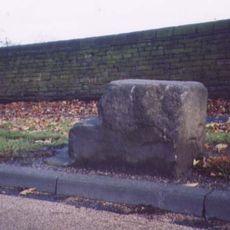
Milestone, Harrogate Road; north of Park Road, nr wall round playing field
1.7 kmVisited this place? Tap the stars to rate it and share your experience / photos with the community! Try now! You can cancel it anytime.
Discover hidden gems everywhere you go!
From secret cafés to breathtaking viewpoints, skip the crowded tourist spots and find places that match your style. Our app makes it easy with voice search, smart filtering, route optimization, and insider tips from travelers worldwide. Download now for the complete mobile experience.

A unique approach to discovering new places❞
— Le Figaro
All the places worth exploring❞
— France Info
A tailor-made excursion in just a few clicks❞
— 20 Minutes