
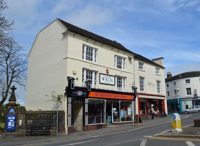
26, High Street, building in Newcastle-under-Lyme, Staffordshire, UK
Location: Newcastle-under-Lyme
GPS coordinates: 53.01176,-2.22901
Latest update: March 3, 2025 14:42
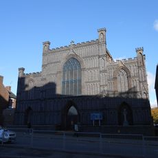
Roman Catholic Church of the Holy Trinity and War Memorial
497 m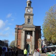
Newcastle-under-Lyme Guildhall
180 m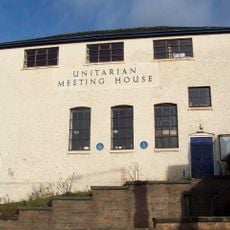
Old Unitarian Meeting House
91 m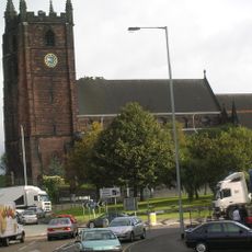
Church of St Giles
61 m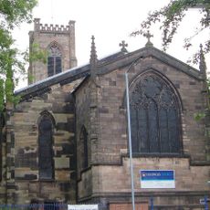
Church of St George
417 m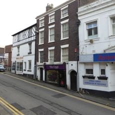
3 and 5, Church Street
51 m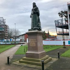
Statue of Queen Victoria
290 m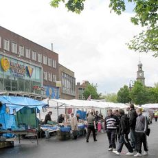
Vue Newcastle-under-Lyme
237 m
12, King Street
481 m
Bradwell House
531 m
31, Ironmarket
244 m
Queen's Chambers
378 m
14 And 16, High Street
32 m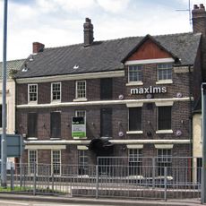
Maxims Wine Bar
156 m
Former Veterinary Surgery Adjoining Numbers 6 And 8
408 m
51, High Street
174 m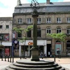
Market Cross
156 m
25, Ironmarket
182 m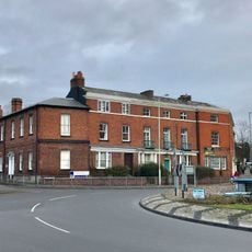
1 and 2, Nelson Place
379 m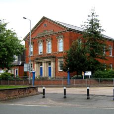
Ebenezer House
310 m
Brampton House
464 m
3, King Street
428 m
8, King Street
459 m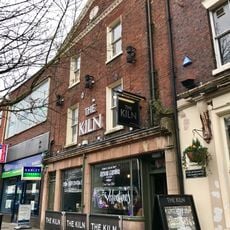
85, High Street
311 m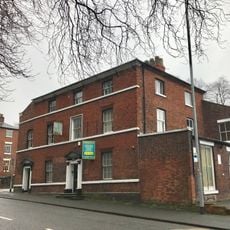
6 And 8, Queen Street
424 m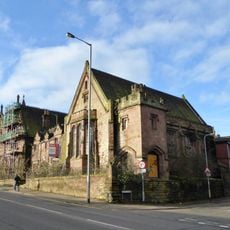
Old Orme Boys' Primary School
241 m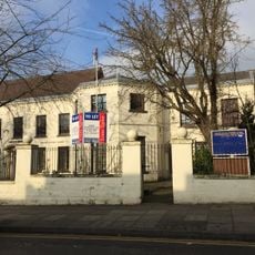
Carlton House
58 m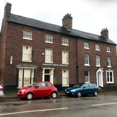
10, King Street
470 mReviews
Visited this place? Tap the stars to rate it and share your experience / photos with the community! Try now! You can cancel it anytime.
Discover hidden gems everywhere you go!
From secret cafés to breathtaking viewpoints, skip the crowded tourist spots and find places that match your style. Our app makes it easy with voice search, smart filtering, route optimization, and insider tips from travelers worldwide. Download now for the complete mobile experience.

A unique approach to discovering new places❞
— Le Figaro
All the places worth exploring❞
— France Info
A tailor-made excursion in just a few clicks❞
— 20 Minutes