
Old Rectory, clergy house in Duntisbourne Rouse, Cotswold, Gloucestershire, UK
Location: Duntisbourne Rouse
GPS coordinates: 51.75284,-2.02245
Latest update: August 15, 2025 06:28
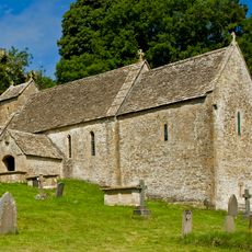
St Michael's Church, Duntisbourne Rouse
41 m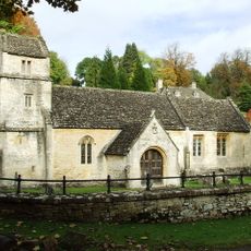
Church of St Margaret
2.7 km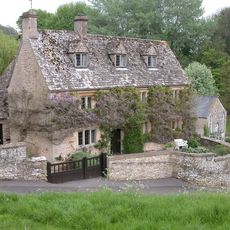
Davenport House
2.3 km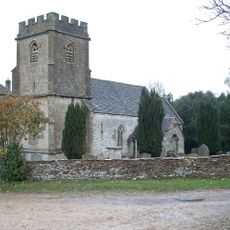
Church of the Holy Rood
1.3 km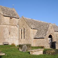
Church of St Peter
2.4 km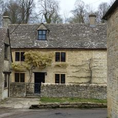
Turner's
1.9 km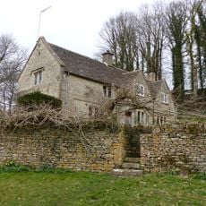
Whitehead's Well
2.1 km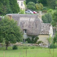
Thatch Cottage
2.6 km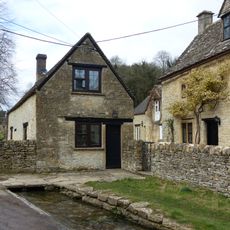
Leigh Cottage
1.9 km
Gloucester Lodge
2.3 km
Bagendon Manor or Manor Farm
2.7 km
Fairview
2.6 km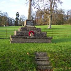
Bagendon War Memorial
2.6 km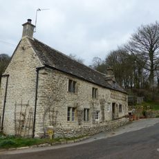
Alice's House
1.9 km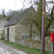
Barn approximately 8 metres south of Duntisbourne Leer Farmhouse
1.9 km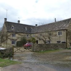
Duntisbourne Leer Farmhouse
1.9 km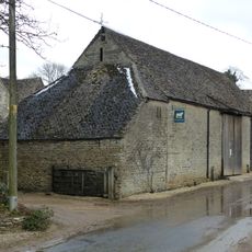
Barn to south of Manor Farmhouse
596 m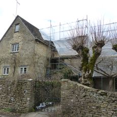
Trustams Mead
1.9 km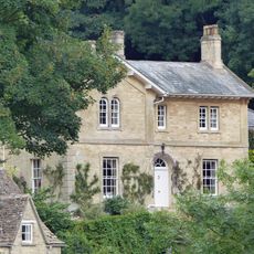
The Old Rectory with service cottage and link wall
2.6 km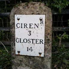
Milestone
1.2 km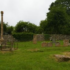
Churchyard cross in St Michael's churchyard
22 m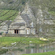
Manor Farmhouse
624 m
22, Duntisbourne Leer
1.8 km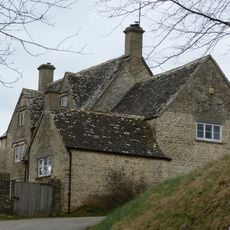
Well Hill
2.3 km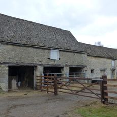
Cartshed and granary with attached cowhouse across road and to south east of Manor Farmhouse
577 m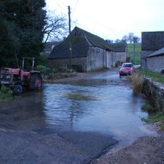
Footbridge to east of ford
567 m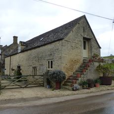
Stables to south east of Manor Farmhouse
608 m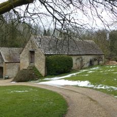
Stables approximately 18 metres south east of Duntisbourne Leer Farmhouse
1.8 kmReviews
Visited this place? Tap the stars to rate it and share your experience / photos with the community! Try now! You can cancel it anytime.
Discover hidden gems everywhere you go!
From secret cafés to breathtaking viewpoints, skip the crowded tourist spots and find places that match your style. Our app makes it easy with voice search, smart filtering, route optimization, and insider tips from travelers worldwide. Download now for the complete mobile experience.

A unique approach to discovering new places❞
— Le Figaro
All the places worth exploring❞
— France Info
A tailor-made excursion in just a few clicks❞
— 20 Minutes