
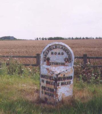
Milepost Se421344, milestone in Sturton Grange, Leeds, West Yorkshire, UK
Location: Sturton Grange
Inception: 19 century
GPS coordinates: 53.80448,-1.36292
Latest update: March 11, 2025 10:27
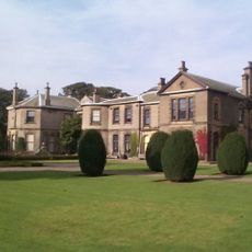
Lotherton Hall
3.3 km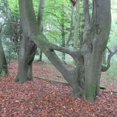
Nellie's Tree
1.7 km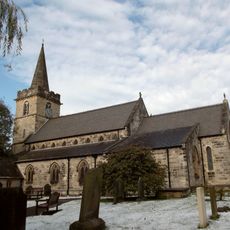
Parish Church of St Ricarius Or St Riquier
3 km
Aberford Dykes
3.6 km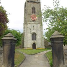
Church of All Saints
3.6 km
St. Mary's Church, Garforth
1.7 km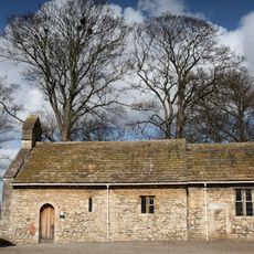
Lotherton Chapel
3.3 km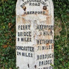
Milepost Against Wall Of Garden To St Wilfrids Roman Catholic Church
2.4 km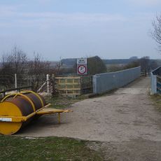
Crawshaw Woods (Shippen House Farm) Bridge, Hul4/20
3.3 km
Garforth Library and One Stop Centre
2.2 km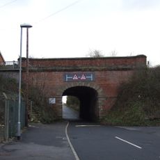
Barwick Road railway bridge, Garforth
1.8 km
The Swan Hotel
3.1 km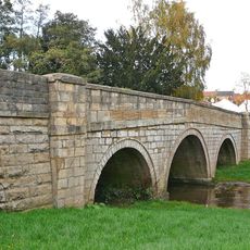
Aberford Bridge
3.2 km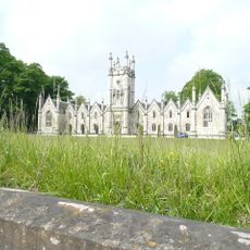
Gascoigne Almshouses And Attached Wardens Cottage
2.3 km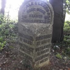
Milepost At Se431331
1.7 km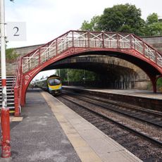
Footbridge At Garforth Station
1.6 km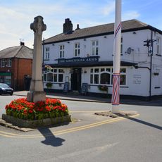
Barwick-in-Elmet War Memorial
3.7 km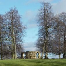
Shelter At Approximately Se428368
2.3 km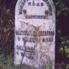
Milepost At Se 394 329
3 km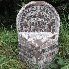
Milepost At Se 429 314
3.1 km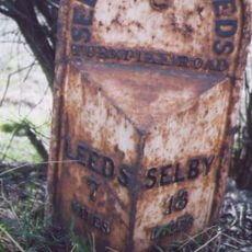
Milepost At Se 410 320
2.6 km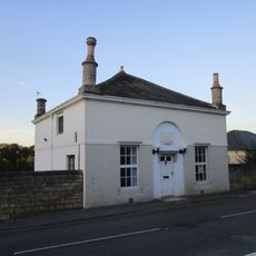
Pikes Head Lodge
3 km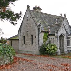
Lodge To Gascoigne Almshouses
2.3 km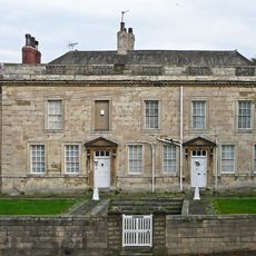
Aberford House Including Front Garden Wall With Gatepiers And Inner Paved Parterre With Steps
3 km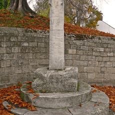
Market Cross Beside South Gate To Church Of St Ricarius
3 km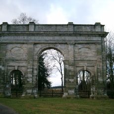
Triumphal Arch
2.1 km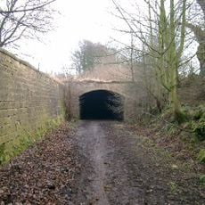
The Dark Arch
1.6 km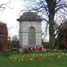
Aberford War Memorial
2.4 kmReviews
Visited this place? Tap the stars to rate it and share your experience / photos with the community! Try now! You can cancel it anytime.
Discover hidden gems everywhere you go!
From secret cafés to breathtaking viewpoints, skip the crowded tourist spots and find places that match your style. Our app makes it easy with voice search, smart filtering, route optimization, and insider tips from travelers worldwide. Download now for the complete mobile experience.

A unique approach to discovering new places❞
— Le Figaro
All the places worth exploring❞
— France Info
A tailor-made excursion in just a few clicks❞
— 20 Minutes