
Southill Hall, house in Kimblesworth and Plawsworth, County Durham, UK
Location: Kimblesworth and Plawsworth
GPS coordinates: 54.82489,-1.57723
Latest update: March 29, 2025 18:27
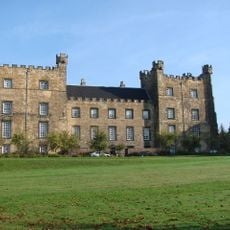
Lumley Castle
3.7 km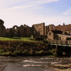
Finchale Priory
2.6 km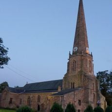
St Mary and St Cuthbert, Chester-le-Street
3.5 km
Concangis
3.5 km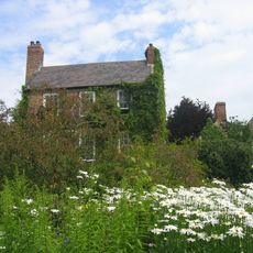
Crook Hall
4.7 km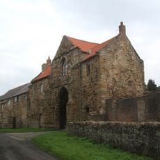
Kepier Hospital
4.7 km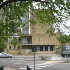
County Hall, Durham
4.4 km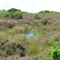
Waldridge Fell
2.7 km
Chester Burn viaduct
3.8 km
Ropery Lane
3.1 km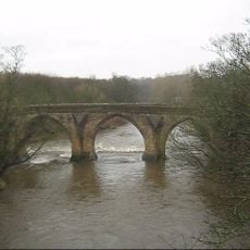
Chester New Bridge
4.6 km
Crook Hall Gardens
4.7 km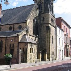
United Reformed Church
5.2 km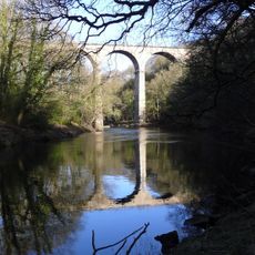
Belmont viaduct
3.8 km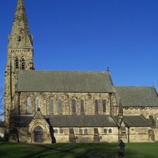
Church of St Mary
5.1 km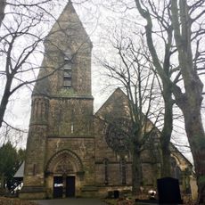
Church of St Cuthbert
4.8 km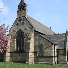
Church of St Barnabas
5.2 km
Church of St Michael and All Angels
4.5 km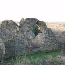
Chapel of St. Mary Magdalene
5.1 km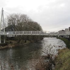
Penny Ferry Bridge
5 km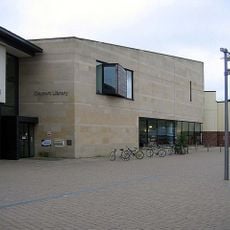
Durham Clayport Library
5.2 km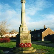
Witton Gilbert War Memorial
4 km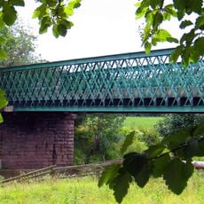
Cocken Bridge
1 km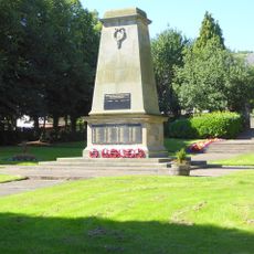
Pelton Fell Cenotaph and memorial gates
4.7 km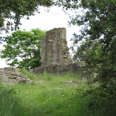
Beaurepaire Manor House
4.9 km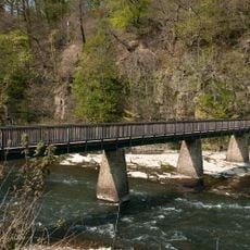
Finchale Bridge
2.5 km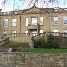
Witton Hall And Wall Attached
4.5 km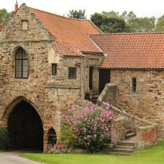
Kepier Farmhouse
4.7 kmReviews
Visited this place? Tap the stars to rate it and share your experience / photos with the community! Try now! You can cancel it anytime.
Discover hidden gems everywhere you go!
From secret cafés to breathtaking viewpoints, skip the crowded tourist spots and find places that match your style. Our app makes it easy with voice search, smart filtering, route optimization, and insider tips from travelers worldwide. Download now for the complete mobile experience.

A unique approach to discovering new places❞
— Le Figaro
All the places worth exploring❞
— France Info
A tailor-made excursion in just a few clicks❞
— 20 Minutes