
16, Northgate, Grade II listed house in Utkinton, Cheshire West and Chester, Cheshire, CW6
Location: Utkinton and Cotebrook
GPS coordinates: 53.18265,-2.67646
Latest update: March 6, 2025 05:44
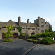
Tirley Garth
1 km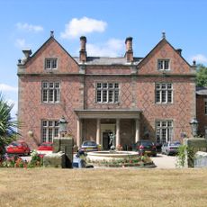
Willington Hall
1.7 km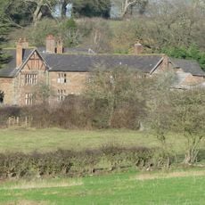
Utkinton Hall
754 m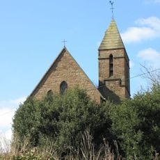
St John's Church, Cotebrook
2.3 km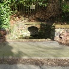
Salters Well
2.2 km
32 High Street, Tarporley
2.6 km
The Monks Well
2.6 km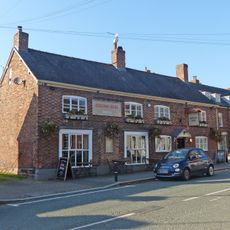
The Rising Sun
2.6 km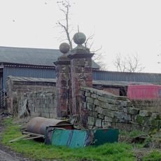
East garden walls and gatepiers to Utkinton Hall
754 m
Terrace walls 70m north of Utkinton Hall
677 m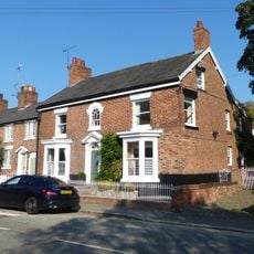
31, High Street
2.5 km
31, 33 and 35, Forest Road
2.4 km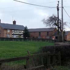
Brook House Farmhouse
2.5 km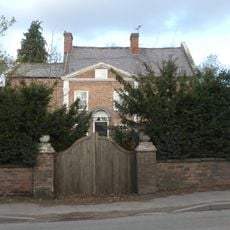
Rode Street House
2 km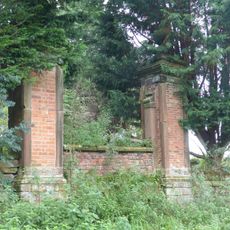
Roadside wall and gatepiers, and the west terrace walls at Utkinton Hall
722 m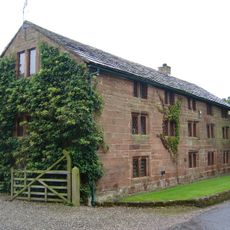
The Bailiff's House
707 m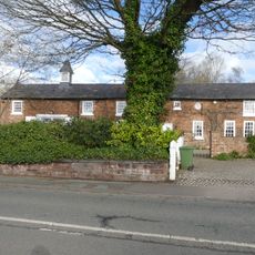
Coach House at Salters Well House
2.2 km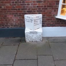
Mile Stone
2.6 km
Garden walls and gate piers to Rode Street House
2 km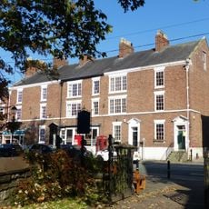
77-85, High Street
2.7 km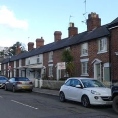
25–29, High Street
2.5 km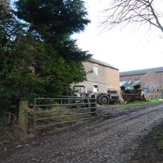
Barn 35 metres east of Utkinton Hall
758 m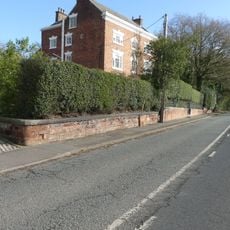
Wall, gate and screen of railings before Salters Well House
2.2 km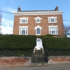
Salters Well House
2.2 km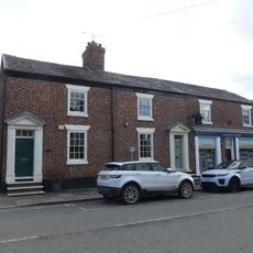
59 & 61, High Street
2.6 km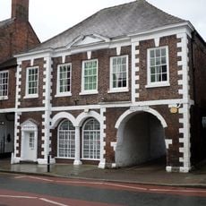
Market Hall
2.7 km
73 And 75, High Street
2.7 km
17–21, High Street
2.4 kmReviews
Visited this place? Tap the stars to rate it and share your experience / photos with the community! Try now! You can cancel it anytime.
Discover hidden gems everywhere you go!
From secret cafés to breathtaking viewpoints, skip the crowded tourist spots and find places that match your style. Our app makes it easy with voice search, smart filtering, route optimization, and insider tips from travelers worldwide. Download now for the complete mobile experience.

A unique approach to discovering new places❞
— Le Figaro
All the places worth exploring❞
— France Info
A tailor-made excursion in just a few clicks❞
— 20 Minutes