
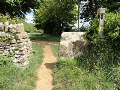
Boundary Stone At South End Of Weston-Sub Edge Cp
Boundary Stone At South End Of Weston-Sub Edge Cp, boundary marker in Saintbury, Cotswold, Gloucestershire, UK
Location: Saintbury
Part of: political border
GPS coordinates: 52.03713,-1.82055
Latest update: March 3, 2025 00:18

Broadway Tower
1.8 km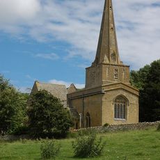
Church of St Nicholas
1.9 km
Church of St Peter
2.6 km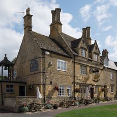
The Bell Inn
2.6 km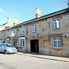
The Volunteer Public House
2.8 km
Milestone House Hotel
2.3 km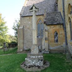
Saintbury War Memorial
1.9 km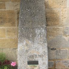
Milestone Adjoining Milestone House Hotel
2.3 km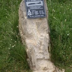
A.W. Whitley Bomber Z6639 Crash Memorial, Broadway
1.9 km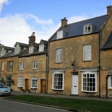
82, High Street
2.4 km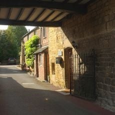
89 91, High Street
2.3 km
Saintbury Cross
2.7 km
Inglenook
2.3 km
Campden House
919 m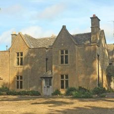
Hunter's Lodge
2.6 km
Pair Of Gate Piers And Wall Enclosing Forecourt To South Of Picton House
2.7 km
Passionist Residence
2.5 km
Leeds House
2.3 km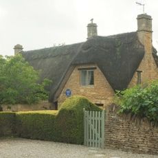
Little Orchard
2.8 km
Picton House
2.7 km
Saintbury Cross Farmhouse
2.7 km
Prior's Manse
2.5 km
Sycamore House
2.7 km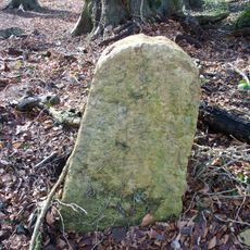
Milestone, SW Cross Hands
2.4 km
60, High Street
2.5 km
Broad Close
2.6 km
Milestone, Fish Hill
1.2 km
Milestone, 500m SE car park
1.2 kmReviews
Visited this place? Tap the stars to rate it and share your experience / photos with the community! Try now! You can cancel it anytime.
Discover hidden gems everywhere you go!
From secret cafés to breathtaking viewpoints, skip the crowded tourist spots and find places that match your style. Our app makes it easy with voice search, smart filtering, route optimization, and insider tips from travelers worldwide. Download now for the complete mobile experience.

A unique approach to discovering new places❞
— Le Figaro
All the places worth exploring❞
— France Info
A tailor-made excursion in just a few clicks❞
— 20 Minutes