Chart Place, building in Chart Sutton, Maidstone, Kent, UK
Church of St Michael
67 m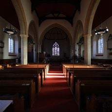
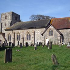
Church of St Mary, Sutton Valence
640 m
Mounting Block About 20 Metres West North West Of Church Of St Michael
36 m
Table Tomb To Elizabeth Crispe About 25 Metres South Of Church Of St Mary
658 m
Table Tomb About 28 Metres South Of Church Of St Mary
656 m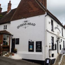
The Queens Head Public House
809 m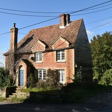
Ivy Cottage
820 m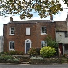
Osborne House
840 m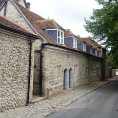
Former Almshouses, Now Part Of Sutton Valence School
910 m
Hillside House
756 m
Manor Farmhouse
697 m
Former Granary About 15 Metres North Of Chart Place Cottages
76 m
Rectory Farmhouse
426 m
Appin Mor Old Place
808 m
Norton Court
689 m
Priory House
525 m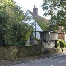
Heaven Cottage
718 m
Wentways
754 m
Stable To South Of Rectory Farmhouse
461 m
Ladds Court
774 m
Belringham
777 m
Table Tomb About 10 Metres South West Of Church Of St Mary
654 m
Barn About 40 Metres South South West Of Park House Farmhouse
439 m
Sutton Platt Cottage
346 m
Court Farmhouse And Barn
75 m
Sutton Valence School Block Erected 1910-1914
852 m
Motto Cottages
869 m
Candy Cottage Townwell Cottage
900 mReviews
Visited this place? Tap the stars to rate it and share your experience / photos with the community! Try now! You can cancel it anytime.
Discover hidden gems everywhere you go!
From secret cafés to breathtaking viewpoints, skip the crowded tourist spots and find places that match your style. Our app makes it easy with voice search, smart filtering, route optimization, and insider tips from travelers worldwide. Download now for the complete mobile experience.

A unique approach to discovering new places❞
— Le Figaro
All the places worth exploring❞
— France Info
A tailor-made excursion in just a few clicks❞
— 20 Minutes