
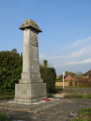
Cranbrook War Memorial, war memorial in Cranbrook, Tunbridge Wells, Kent, UK
Location: Cranbrook & Sissinghurst
GPS coordinates: 51.09371,0.52362
Latest update: March 5, 2025 19:20
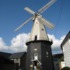
Union Mill, Cranbrook
1.1 km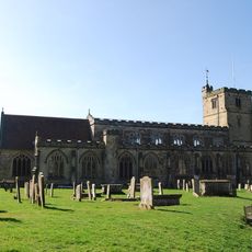
St Dunstan's Church, Cranbrook
961 m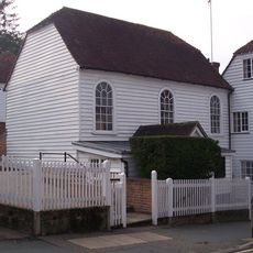
Cranbrook Strict Baptist Chapel
1 km
Parsonage Wood
4.1 km
Sissinghurst Park Wood
4.5 km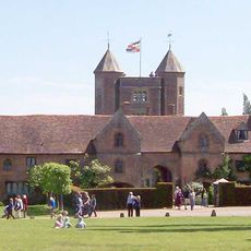
Sissinghurst Castle
4.7 km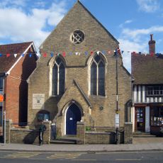
Congregational Church
815 m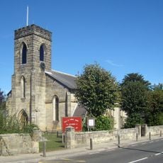
Church of the Holy Trinity
3.3 km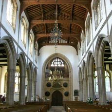
Church of St Dunstan
973 m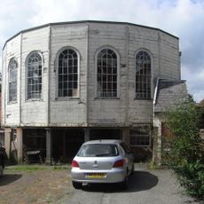
Providence Chapel
904 m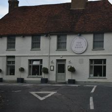
The Bull Public House
3.2 km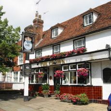
The Crown Public House
691 m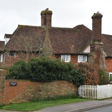
King's Head House
3.1 km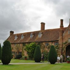
West Range at Sissinghurst Castle
4.7 km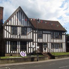
Lloyd's Bank
764 m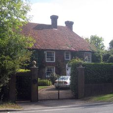
Maypole
4.6 km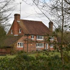
Whistler's
3.1 km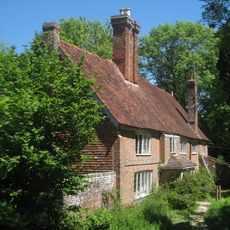
Attwaters And Wall Attached
2.7 km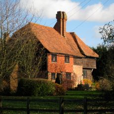
Smugley Farmhouse
4.4 km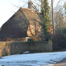
Baker's Farmhouse
4.7 km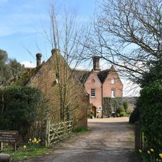
Sissinghurst Castle Farmhouse
4.6 km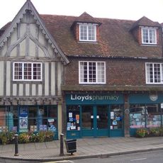
International Stores
865 m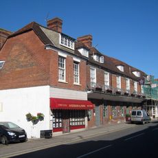
Anderson and Sons Butchers, George Hotel and Harper and Hurlingham
901 m
Courtstile The Island
1.3 km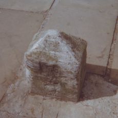
Milestone, High Street, outside No. 55
743 m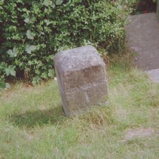
Milestone, Hartley village, by "Pleasant View"(was Hartley House)
887 m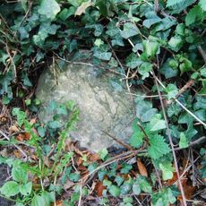
Milestone, Goudhurst Road, Flishinghurst, opp. Chalk Lane
2.2 km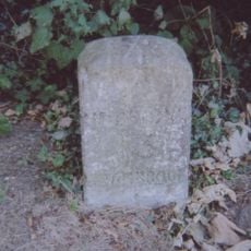
Milestone, Angley Road, Wilseley Green, e of Waterloo Road
1.9 kmReviews
Visited this place? Tap the stars to rate it and share your experience / photos with the community! Try now! You can cancel it anytime.
Discover hidden gems everywhere you go!
From secret cafés to breathtaking viewpoints, skip the crowded tourist spots and find places that match your style. Our app makes it easy with voice search, smart filtering, route optimization, and insider tips from travelers worldwide. Download now for the complete mobile experience.

A unique approach to discovering new places❞
— Le Figaro
All the places worth exploring❞
— France Info
A tailor-made excursion in just a few clicks❞
— 20 Minutes