
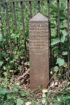
Boundary Post At So 7837 4693, boundary marker in Malvern, Malvern Hills, Worcestershire, UK
Location: Malvern
Part of: political border
GPS coordinates: 52.12026,-2.31733
Latest update: March 8, 2025 05:08

Church of St Matthias, Malvern Link
1 km
Holy Trinity Church, Malvern Link
881 m
Amida Mandala Buddhist Temple
1.1 km
Stocks, Whipping Post And Animal Pound Opposite Holy Trinity Church
914 m
Montrose Hotel
1 km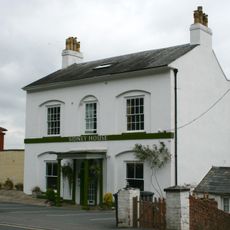
Sidney House Hotel
1 km
Malvern Library
1 km
Edinburgh Sports Dome
1.1 km
Priory Lodge, Malvern
1.1 km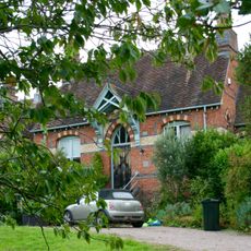
Redwood House (Formerly Malvern Rural Hospital)
954 m
Pillar Box In Front Of The Seaford Court Preparatory School
503 m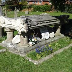
Monument to Speer family in Great Malvern Cemetery
1.1 km
Two Gas Street Lamps In The Churchyard Of The Church Of St Matthias
940 m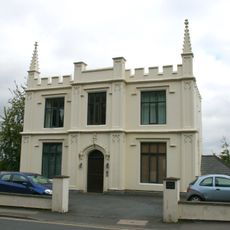
46, Worcester Road
990 m
North Malvern War Memorial
868 m
Pickersleigh Court
458 m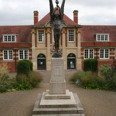
Malvern War Memorial
1.1 km
68, Graham Road
909 m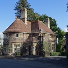
Lodge To Number 148 (Davenham)
617 m
St Ann's Orchard
714 m
Aucott House
893 m
Abberley House
867 m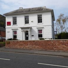
Holland House
1.1 km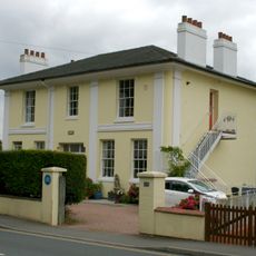
44, Worcester Road
1 km
Anglican, Nonconformist and Mortuary Chapels at Great Malvern Cemetery
1 km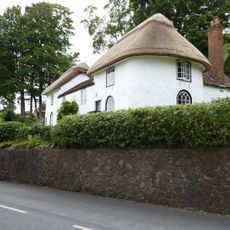
1 and 3, North Malvern Road
853 m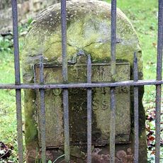
Milestone, Worcester Road, URC Churchyard, Malvern Link
659 m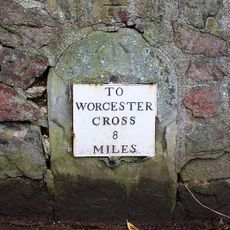
Milestone, Wells Road, by No. 52; opp Elm Bank Guest House
939 mReviews
Visited this place? Tap the stars to rate it and share your experience / photos with the community! Try now! You can cancel it anytime.
Discover hidden gems everywhere you go!
From secret cafés to breathtaking viewpoints, skip the crowded tourist spots and find places that match your style. Our app makes it easy with voice search, smart filtering, route optimization, and insider tips from travelers worldwide. Download now for the complete mobile experience.

A unique approach to discovering new places❞
— Le Figaro
All the places worth exploring❞
— France Info
A tailor-made excursion in just a few clicks❞
— 20 Minutes