
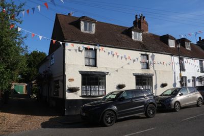
Neal's, building in Bromley, Greater London, UK
Location: London Borough of Bromley
GPS coordinates: 51.35717,0.12777
Latest update: March 8, 2025 17:01
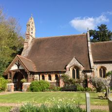
St Margaret's Church, Halstead
2.4 km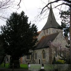
Church of St Martin of Tours
330 m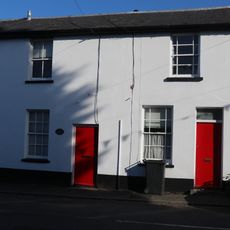
4-6, Church Road
40 m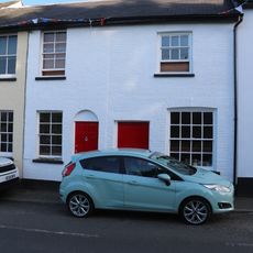
1-3, Church Road
30 m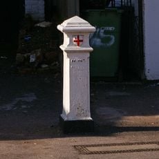
Coal Taxpost Outside Baptist Church
2.7 km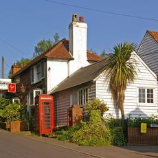
The Rock And Fountain Public House
1.2 km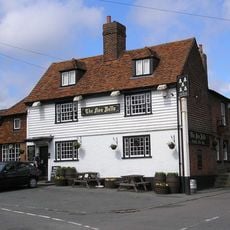
Five Bells Public House
24 m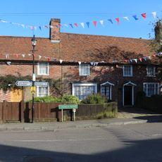
Chelsfield Post Office
16 m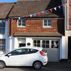
The Old Bakery
19 m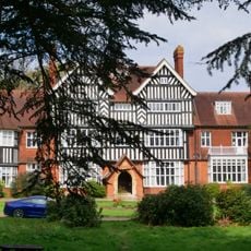
Goddington House
1.7 km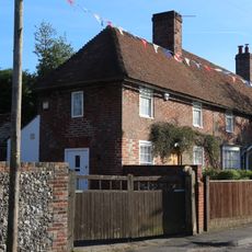
Wychway
22 m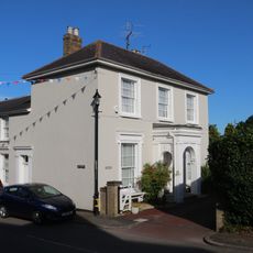
Stone House
50 m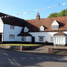
Crosshall
42 m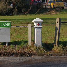
Coal Taxpost At Junction With Warren Road
2.7 km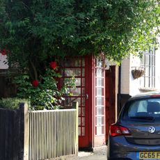
K6 Telephone Kiosk
10 m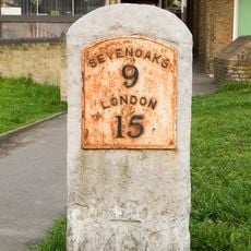
Milestone At Junction Of Sevenoaks Road With Farnborough Hill
2.7 km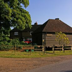
Hewitts
1.1 km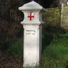
Coal Taxpost Outside No 49
1.8 km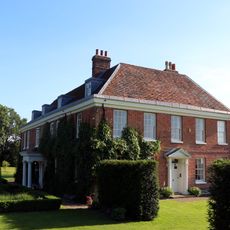
Court Lodge
380 m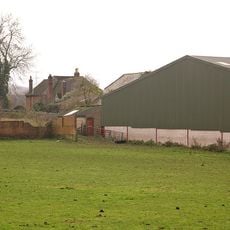
Chelsfield Hall Farmhouse
2.7 km
Cross House
12 m
Chelsfield House
292 m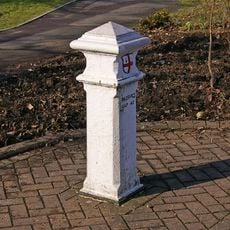
Coal Taxpost At Junction With Farnborough Hill
2.7 km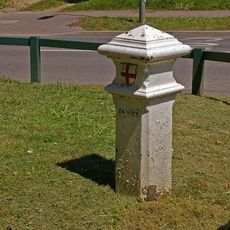
Coal Taxpost By Entrance To Recreation Ground
993 m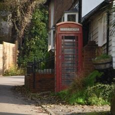
K6 Telephone Kiosk
1.2 km
Milestone At Tq 4671 6228
2.4 km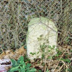
Milestone, Old London Road, S of substation and 100m N of Badgers Mount boundary sign
2.1 km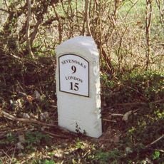
Milestone, Sevenoaks Road, E of Norsted Lane, Pratt's Bottom
2.4 kmReviews
Visited this place? Tap the stars to rate it and share your experience / photos with the community! Try now! You can cancel it anytime.
Discover hidden gems everywhere you go!
From secret cafés to breathtaking viewpoints, skip the crowded tourist spots and find places that match your style. Our app makes it easy with voice search, smart filtering, route optimization, and insider tips from travelers worldwide. Download now for the complete mobile experience.

A unique approach to discovering new places❞
— Le Figaro
All the places worth exploring❞
— France Info
A tailor-made excursion in just a few clicks❞
— 20 Minutes