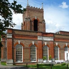
Part Of Number 37, architectural structure in Sutton, Greater London, UK
Location: London Borough of Sutton
GPS coordinates: 51.36425,-0.16592
Latest update: November 19, 2025 22:17
Water Pavilion At Carshalton House
111 m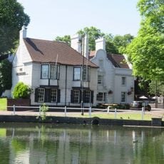
The Greyhound Inn
127 m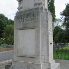
Carshalton War Memorial
187 m
Pump And Trough
34 m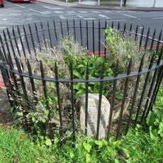
Anne Boleyns Or Bullens Well
190 m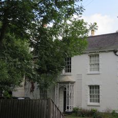
4, West Street
137 m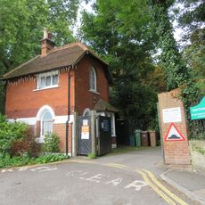
The Gate House
141 m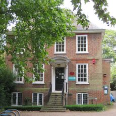
The Old Rectory
113 m
3, West Street
180 m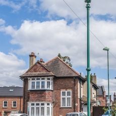
Sewer Ventilation Column in Wallace Crescent, Carshalton
146 m
5A, Orchard Hill
89 m
South Boundary Wall To Honeywood Lodge And Gateways
115 m
1A And 2A, Orchard Hill
104 m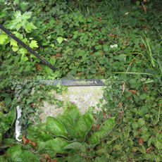
Ruskin Stone At The Junction Of West Street And Pound Street
33 m
Boundary Wall To Carshalton House Boundary Wall To Carshalton House Along Pound Street And Shorts Road
86 m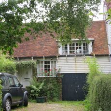
10A And 10, West Street
164 m
2, West Street
126 m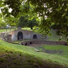
Hermitage Or Grotto At Carshalton House
175 m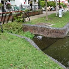
Culvert In Front Of Honeywood Lodge
132 m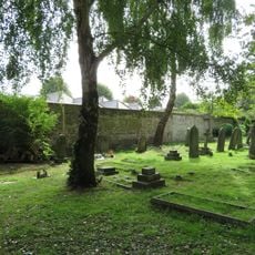
East And West Churchyard Walls
168 m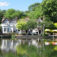
Honeywood Lodge
121 m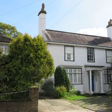
12, West Street
185 m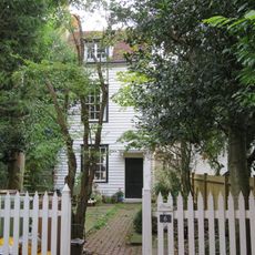
6 And 8, West Street
150 m
Wall To East Of The Gate House
174 m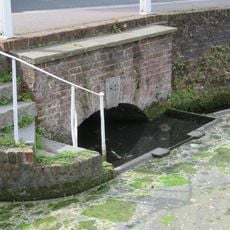
South East Culvert And South And East Retaining Walls Of The Pond To The East Of North Street
214 m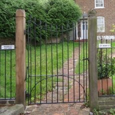
Railings To Madeley Cottage
180 m
Sutton Ecology Centre Grounds
207 m
Honeywood Museum
142 mReviews
Visited this place? Tap the stars to rate it and share your experience / photos with the community! Try now! You can cancel it anytime.
Discover hidden gems everywhere you go!
From secret cafés to breathtaking viewpoints, skip the crowded tourist spots and find places that match your style. Our app makes it easy with voice search, smart filtering, route optimization, and insider tips from travelers worldwide. Download now for the complete mobile experience.

A unique approach to discovering new places❞
— Le Figaro
All the places worth exploring❞
— France Info
A tailor-made excursion in just a few clicks❞
— 20 Minutes