Manor Farmhouse, farmhouse in St. Paul Malmesbury Without, Wiltshire, UK
Location: St. Paul Malmesbury Without
GPS coordinates: 51.55337,-2.11125
Latest update: November 17, 2025 09:14
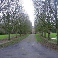
Cole Park
2.2 km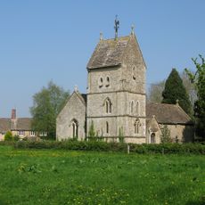
Church of the Holy Rood
1.1 km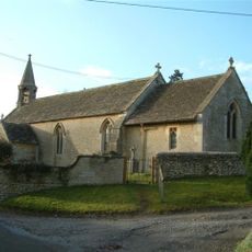
Church of All Saints
213 m
Former Coach House And Attached Garden Wall In The Courtyard To The North West Of Cole Park
2.2 km
Bridge, Gatepiers, Gates And Moat Wall To The North Of Cole Park
2.2 km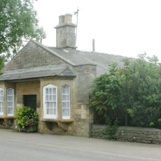
Pike House
2.2 km
Lynian
234 m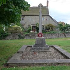
Corston and Rodbourne War Memorial Cross
153 m
The Old School
1.1 km
The Radnor Arms
154 m
Whiteheath House
913 m
Rodbourne House
1.4 km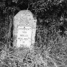
Milestone At Ngr 924836
588 m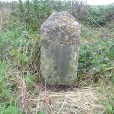
Milestone At Ngr 912838
927 m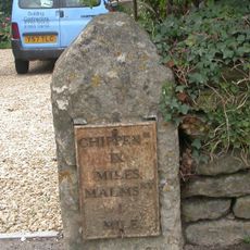
Milestone, 4 Metres To The North Of Pike House At Ngr 938853
2 km
Former Stables In The North East Corner Of The Courtyard At Cole Park
2.2 km
The Hermitage
149 m
The Dower House
989 m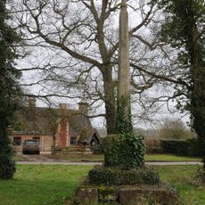
Village Cross
1.1 km
Barn At Kingway Farm
1.6 km
Firs Farmhouse And Boundary Wall And Railings
251 m
Two Monuments In The Churchyard, 10 Metres North Of Nave, Church Of All Saints
223 m
The Moat House
2.2 km
Cottage 40 Yards South Of Bridge, On East Side Of Road The Gables
280 m
Outbuildings To The North East Of The Dower House
1 km
Trinity Farmhouse
1 km
Radnor Cottage
152 m
Harries Ground, Rodbourne
1.7 kmReviews
Visited this place? Tap the stars to rate it and share your experience / photos with the community! Try now! You can cancel it anytime.
Discover hidden gems everywhere you go!
From secret cafés to breathtaking viewpoints, skip the crowded tourist spots and find places that match your style. Our app makes it easy with voice search, smart filtering, route optimization, and insider tips from travelers worldwide. Download now for the complete mobile experience.

A unique approach to discovering new places❞
— Le Figaro
All the places worth exploring❞
— France Info
A tailor-made excursion in just a few clicks❞
— 20 Minutes