
Boundary Stone Outside Pilgrim House Nos 36-39
Boundary Stone Outside Pilgrim House Nos 36-39, boundary marker in Guildford, Surrey, UK
Location: Guildford
Part of: political border
GPS coordinates: 51.23209,-0.57275
Latest update: August 1, 2025 17:17
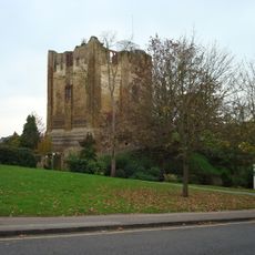
Guildford Castle
244 m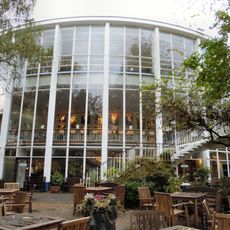
Yvonne Arnaud Theatre
228 m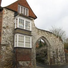
Guildford Museum
200 m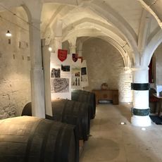
Medieval undercroft at 72/74 High Street
362 m
St Nicolas' Church, Guildford
352 m
The Surrey Scholar
389 m
St Mary's Church, Guildford
306 m
Guildford War Memorial
258 m
Pewley Cottage
295 m
The Star Public House
359 m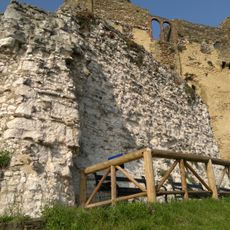
Remains of Shell Keep at Guildford Castle
224 m
The Kings Head
239 m
Guildford Post WWII War Memorial
205 m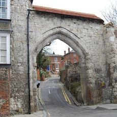
The Castle Gateway And Walls Adjoining To The East And South
174 m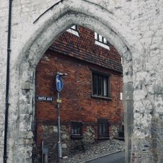
Castle Arch
185 m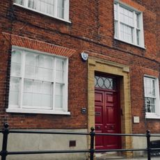
44, Quarry Street
103 m
92, High Street
380 m
National Westminster Bank Area Office
158 m
Disused Reservoir
329 m
90, High Street
379 m
1, Quarry Street
367 m
1 and 1A, Sydenham Road
323 m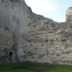
Former Private Apartments At Guildford Castle
191 m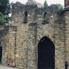
Quarry Hill House Incorporating Castle Walls
124 m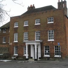
Westbury House
374 m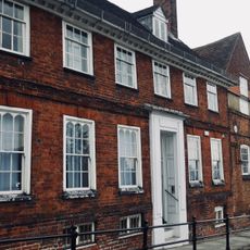
Diocesan House
89 m
Gas Lamp In Garden Of Remembrance, Approximately 8 Metres South West Of Castle Square Entrance
284 m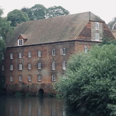
Town Mill
246 mReviews
Visited this place? Tap the stars to rate it and share your experience / photos with the community! Try now! You can cancel it anytime.
Discover hidden gems everywhere you go!
From secret cafés to breathtaking viewpoints, skip the crowded tourist spots and find places that match your style. Our app makes it easy with voice search, smart filtering, route optimization, and insider tips from travelers worldwide. Download now for the complete mobile experience.

A unique approach to discovering new places❞
— Le Figaro
All the places worth exploring❞
— France Info
A tailor-made excursion in just a few clicks❞
— 20 Minutes