
Slads Farmhouse, Threshing Barn And Stables
Slads Farmhouse, Threshing Barn And Stables, agricultural structure in Long Newnton, Cotswold, Gloucestershire, UK
Holborow Memorial, About 9 Metres From North East Corner Of Chancel In Churchyard Of Church Of St Mary
1 km
Pair Of Unidentified Memorials, Immediately To North Of Paul Memorial In Churchyard Of Church Of St Mary
1 km
Wiltshire Bridge
912 m
Paul Memorial, About 8 Metres South East Of Chancel In Churchyard Of Church Of St Mary
1 km
Unidentified Memorial, About 11 Metres From South East Corner Of Chancel In Churchyard Of Church Of St Mary
1 km
Estcourt Grange
248 m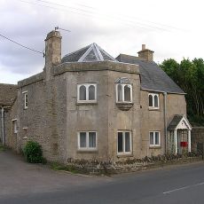
20, Bath Road
1 km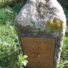
Milestone
515 m
19, The Green
994 m
Barton Abbotts
1 km
Summerhouse In Woods About 100 Metres South West Of Centre Of Wiltshire Bridge
885 m
Barn About 60 Metres East Of The Folly Farmhouse
762 m
Pump
1 km
23, The Green
987 m
35, Silver Street
974 m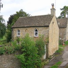
The Old Toll House
1 km
Number 16 And Rosemount
1 km
Tetbury camp
929 m
Summerhouse In Woods About 90 Metres Due South Of Centre Of Wiltshire Bridge
866 m
Old Fox House
981 m
Group Of 5 Chest Tombs, About 7 To 12 Metres From North East Corner Of North Aisle In Churchyard Of Church Of St Mary
1 km
The Folly Farmhouse
776 m
Hillier Memorial, About 4 Metres From North East Corner Of Chancel In Churchyard Of Church Of St Mary
1 km
Unidentified Memorial, About 10 Metres From North East Corner Of Chancel In Churchyard Of Church Of St Mary
1 km
Former Stable Entrance To Barton Abbotts, About 8 Metres East Of East Barton
1 km
21, The Green
993 m
East Barton
1 km
Clay tile artwork
968 mReviews
Visited this place? Tap the stars to rate it and share your experience / photos with the community! Try now! You can cancel it anytime.
Discover hidden gems everywhere you go!
From secret cafés to breathtaking viewpoints, skip the crowded tourist spots and find places that match your style. Our app makes it easy with voice search, smart filtering, route optimization, and insider tips from travelers worldwide. Download now for the complete mobile experience.

A unique approach to discovering new places❞
— Le Figaro
All the places worth exploring❞
— France Info
A tailor-made excursion in just a few clicks❞
— 20 Minutes