
48-58, St George's Drive Sw1, City of Westminster, Greater London, SW1V
Location: City of Westminster
GPS coordinates: 51.48950,-0.14063
Latest update: April 30, 2025 11:56

Eccleston Square
424 m
Warwick Square
139 m
St Saviour, Pimlico
391 m
St Gabriel's, Pimlico
117 m
Lillington Gardens
363 m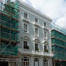
Denbigh Arms
31 m
Parkinson House
352 m
Forsyth House, Pimlico Tram Public House and garden walls
305 m
Stourhead House And Pride Of Pimlico Public House Stourhead House, With Garden Walls And Pride Of Pimlico Public House
364 m
St Saviour's War Memorial
379 m
119-125, Warwick Way Sw1
362 m
Henry Wise House
373 m
Cabmen's Shelter
367 m
Coleridge House
330 m
67-80, Warwick Square Sw1
233 m
Goodyer House
377 m
Fairchild House And Garden Walls
336 m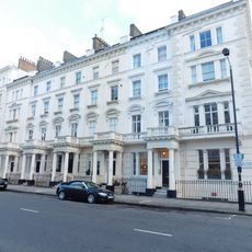
51-61, St George's Drive Sw1
184 m
Repton House
314 m
3-25, St George's Square Sw1
358 m
2-22, St George's Square Sw1
319 m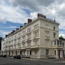
22-36, St George's Drive Sw1
243 m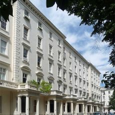
1-23, Warwick Square Sw1
185 m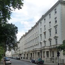
53-74, Eccleston Square Sw1
329 m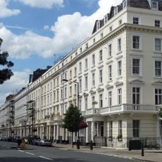
65-113, Belgrave Road Sw1
256 m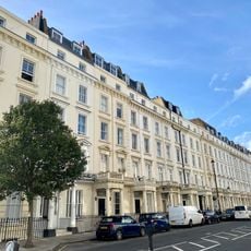
78-130, Belgrave Road Sw1
232 m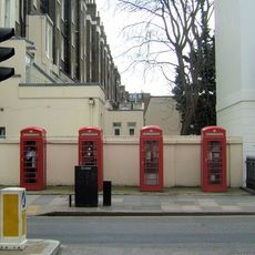
Group Of Four K6 Telephone Kiosks By Garden Wall To Number 1 Warwick Square
245 m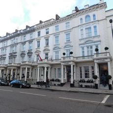
29–49 St George's Drive
249 mReviews
Visited this place? Tap the stars to rate it and share your experience / photos with the community! Try now! You can cancel it anytime.
Discover hidden gems everywhere you go!
From secret cafés to breathtaking viewpoints, skip the crowded tourist spots and find places that match your style. Our app makes it easy with voice search, smart filtering, route optimization, and insider tips from travelers worldwide. Download now for the complete mobile experience.

A unique approach to discovering new places❞
— Le Figaro
All the places worth exploring❞
— France Info
A tailor-made excursion in just a few clicks❞
— 20 Minutes