
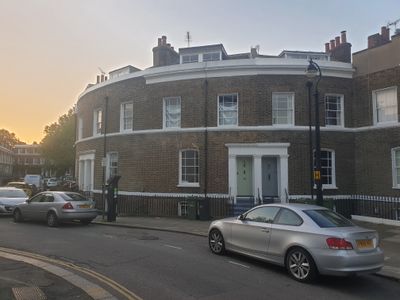
49-54, Hanover Gardens Se11, building in Lambeth, Greater London, UK
Location: London Borough of Lambeth
GPS coordinates: 51.48179,-0.11361
Latest update: March 3, 2025 05:47
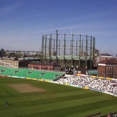
The Oval Gasholders
369 m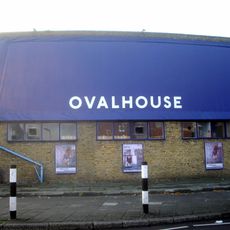
Ovalhouse
112 m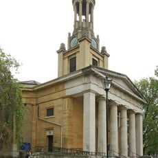
St Mark's Church, Kennington
124 m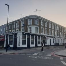
The Hanover Arms Public House
59 m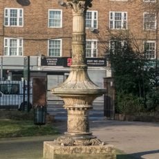
Tinworth pillar
310 m
St Marks' Church Of England Junior Mixed And Infants Schools
402 m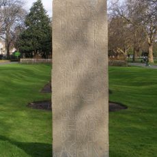
Kennington Park Shelter Victims Memorial
311 m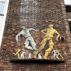
Boys Playing Football
396 m
60-66, Clapham Road Sw9
282 m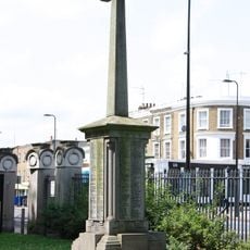
War memorial of St Mark's Church
88 m
2-7, Hanover Gardens Se11
30 m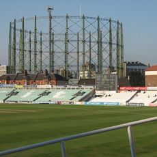
No 1 Gasholder, Kennington Lane Gasholder Station
375 m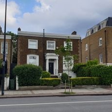
75, Clapham Road Sw9
361 m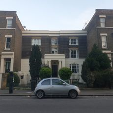
5, Prima Road Sw9
166 m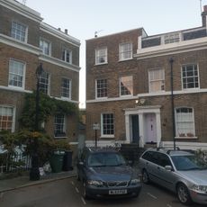
38, Hanover Gardens Se11
65 m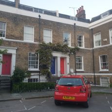
44-48, Hanover Gardens Se11
27 m
15, Clapham Road Sw9
157 m
Oval House
95 m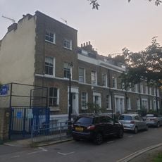
20, Hanover Gardens Se11
51 m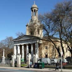
Wall And Piers Around West, North And East Sides Of St Mark's Churchyard
141 m
63-73, Clapham Road Sw9
355 m
3 And 7-25, Montford Place
390 m
22 And 24, Brixton Road Sw9
223 m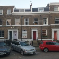
39 And 40, Hanover Gardens Se11
58 m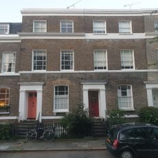
41,42 And 43, Hanover Gardens Se11
46 m
28-37, Hanover Gardens Se11
75 m
21-27, Hanover Gardens Se11
69 m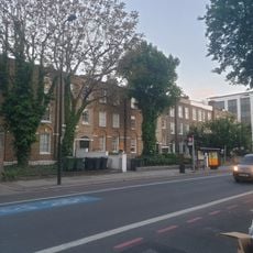
27-41, Clapham Road Sw9
213 mVisited this place? Tap the stars to rate it and share your experience / photos with the community! Try now! You can cancel it anytime.
Discover hidden gems everywhere you go!
From secret cafés to breathtaking viewpoints, skip the crowded tourist spots and find places that match your style. Our app makes it easy with voice search, smart filtering, route optimization, and insider tips from travelers worldwide. Download now for the complete mobile experience.

A unique approach to discovering new places❞
— Le Figaro
All the places worth exploring❞
— France Info
A tailor-made excursion in just a few clicks❞
— 20 Minutes