
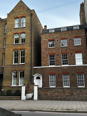
337, Kennington Lane Se11, building in Lambeth, Greater London, UK
Location: London Borough of Lambeth
GPS coordinates: 51.48635,-0.11855
Latest update: March 9, 2025 00:09
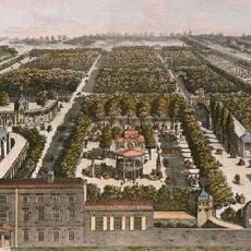
Vauxhall Gardens
230 m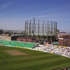
The Oval Gasholders
344 m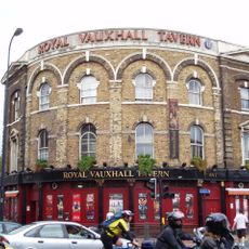
Royal Vauxhall Tavern
232 m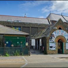
Vauxhall City Farm
111 m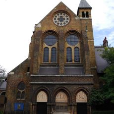
St Peter's Church
51 m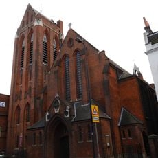
St Anne's Church
98 m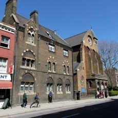
Herbert House
37 m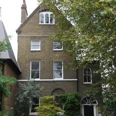
St Peter's Vicarage
48 m
St Anne's House
114 m
St Marks' Church Of England Junior Mixed And Infants Schools
215 m
Following the Leader (Memorial to the Children Killed in the Blitz)
215 m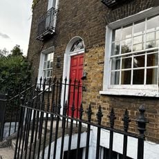
39, Harleyford Road Se11
150 m
15 And 17, Harleyford Road Se11
156 m
23, Harleyford Road Se11
148 m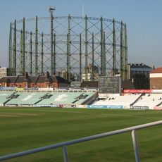
No 1 Gasholder, Kennington Lane Gasholder Station
339 m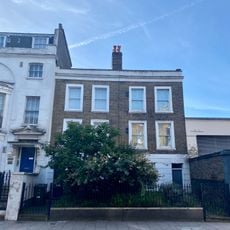
365 And 367, Kennington Lane Se11
125 m
202, Kennington Lane Se11
391 m
58 And 60, Harleyford Road Se11
165 m
43-55, Harleyford Road Se11
181 m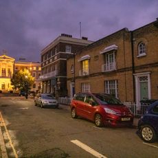
86 And 88, Courtenay Street Se11
386 m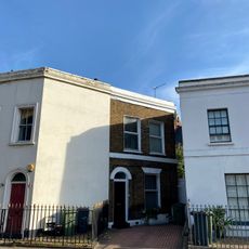
25, Harleyford Road Se11
143 m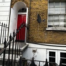
57 And 59, Harleyford Road Se11
201 m
19 And 21, Harleyford Road Se11
150 m
Forecourt Piers And Railings To Number 63
220 m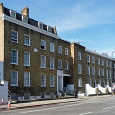
48-56, Harleyford Road Se11
161 m
63, Harleyford Road Se11
209 m
231-245, Kennington Lane Se11
362 m
54-84, Courtenay Street Se11
374 mVisited this place? Tap the stars to rate it and share your experience / photos with the community! Try now! You can cancel it anytime.
Discover hidden gems everywhere you go!
From secret cafés to breathtaking viewpoints, skip the crowded tourist spots and find places that match your style. Our app makes it easy with voice search, smart filtering, route optimization, and insider tips from travelers worldwide. Download now for the complete mobile experience.

A unique approach to discovering new places❞
— Le Figaro
All the places worth exploring❞
— France Info
A tailor-made excursion in just a few clicks❞
— 20 Minutes