
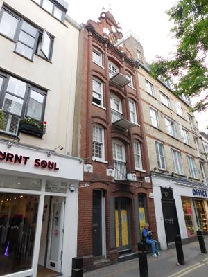
55, Neal Street, Camden, Greater London, WC2H
Location: London Borough of Camden
GPS coordinates: 51.51469,-0.12633
Latest update: March 8, 2025 19:14

Donmar Warehouse
92 m
Neal's Yard
34 m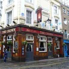
The Crown
90 m
Swiss Protestant Church
73 m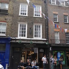
27, Monmouth Street
47 m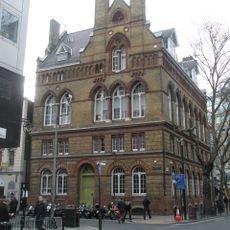
St Mungos Housing
92 m
The Crafts Centre
81 m
29, Neal Street
81 m
27, Neal Street
86 m
61, Neal Street
16 m
37, Monmouth Street
74 m
33, Neal Street
71 m
35, Neal Street
66 m
4 And 6, Shorts Gardens
89 m
1, Shorts Gardens
84 m
64, Neal Street
21 m
78, 78A And 78B, Neal Street
43 m
80, Neal Street
50 m
14, 16 And 18, Monmouth Street
63 m
39, Monmouth Street
78 m
31, Neal Street
77 m
35, Monmouth Street
69 m
81, Endell Street
82 m
63-69, Endell Street
58 m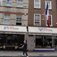
21, Monmouth Street
36 m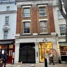
Latchfords Timber Yard Including Attached Timber Sheds
60 m
51-59, Endell Street
66 m
37, Neal Street
61 mVisited this place? Tap the stars to rate it and share your experience / photos with the community! Try now! You can cancel it anytime.
Discover hidden gems everywhere you go!
From secret cafés to breathtaking viewpoints, skip the crowded tourist spots and find places that match your style. Our app makes it easy with voice search, smart filtering, route optimization, and insider tips from travelers worldwide. Download now for the complete mobile experience.

A unique approach to discovering new places❞
— Le Figaro
All the places worth exploring❞
— France Info
A tailor-made excursion in just a few clicks❞
— 20 Minutes