Blue Boar Hall, architectural structure in Havering, Greater London, UK
Location: London Borough of Havering
GPS coordinates: 51.61539,0.18289
Latest update: November 24, 2025 07:39
Bedfords Park
984 m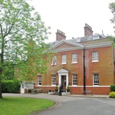
Bower House
323 m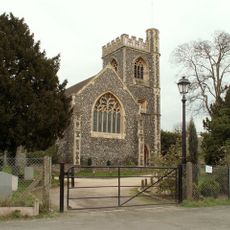
Church of St John the Evangelist, Havering-atte-Bower
94 m
Olives Farmhouse
2.4 km
Randalls Cottages
2.5 km
Bellevue
1.7 km
Rose Cottage
2.6 km
Rose Cottage
249 m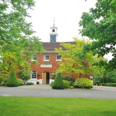
Stable Block At The Bower House
288 m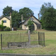
The Stocks And Whipping Post
60 m
64 Heath Drive
2.5 km
Stapleford Hall Farmhouse
2.5 km
The Old School House
2 km
The Thatch
1.3 km
The Park Corner Stone (Approximately 300 Metres South West Of The North Romford Comprehensive School
2.7 km
Upper Bedfords Farmhouse
1.2 km
36 And 38, Reed Pond Walk
2.7 km
Sundial Infront Of Number 36
2.7 km
Little Bumpkyns
2.5 km
Butchers Farmhouse
1.7 km
1-5, The Green
174 m
Ivy Holt
423 m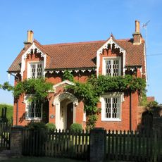
Bower Farm Cottage
177 m
The Round House
301 m
Rex Cinema
2.3 km
Risebridge Golf Centre
2 km
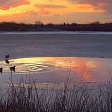
Scenic viewpoint
308 m
Scenic viewpoint
1.1 kmReviews
Visited this place? Tap the stars to rate it and share your experience / photos with the community! Try now! You can cancel it anytime.
Discover hidden gems everywhere you go!
From secret cafés to breathtaking viewpoints, skip the crowded tourist spots and find places that match your style. Our app makes it easy with voice search, smart filtering, route optimization, and insider tips from travelers worldwide. Download now for the complete mobile experience.

A unique approach to discovering new places❞
— Le Figaro
All the places worth exploring❞
— France Info
A tailor-made excursion in just a few clicks❞
— 20 Minutes