
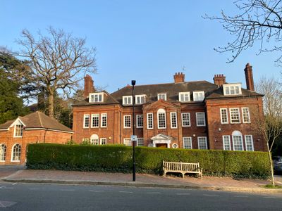
14, Templewood Avenue, building in Camden, Greater London, UK
Location: London Borough of Camden
GPS coordinates: 51.56035,-0.18614
Latest update: March 2, 2025 23:54
Sarum Chase
323 m
Admiral's House
426 m
The Wabe
131 m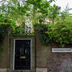
Upper Terrace House
346 m
Capo Di Monte
308 m
15, Templewood Avenue
72 m
Branch Hill Estate
181 m
The Gardens
311 m
Hampstead Observatory
424 m
Oak Tree House
160 m
Grove Lodge
408 m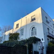
Upper Frognal Lodge
395 m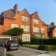
43, 43A And 45, Hollycroft Avenue
341 m
18, Rosecroft Avenue
322 m
1, Upper Terrace
318 m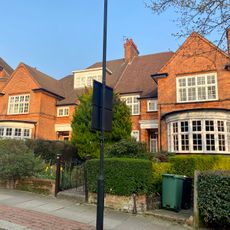
47 And 49, Hollycroft Avenue
356 m
Boundary Walls And Piers To Lipa, Numbers 13, 13B And 13C
235 m
Frognal Grove Including Former Stable Range
386 m
One Oak
401 m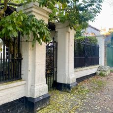
Front Garden Walls, Railings, Piers, Gate And Mounting Block To Numbers 105-111
393 m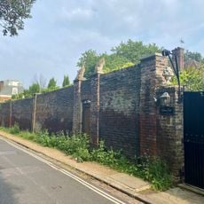
Boundary Wall To Admiral's House, 25 Hampstead Grove And Grove End, Admiral's Walk, Hampstead Grove And Upper Terrace
432 m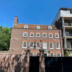
2, 3 And 4, Upper Terrace
300 m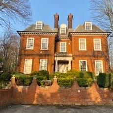
20, Rosecroft Avenue
329 m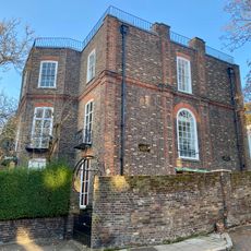
St Dorothys Convent
410 m
Gates, Railings And Wall To The Grounds Of St Vedasts School, Sarum Chase
358 m
Lipa
226 m
25 And 26, Heath Drive
417 m
40 And 42, Ferncroft Avenue
356 mVisited this place? Tap the stars to rate it and share your experience / photos with the community! Try now! You can cancel it anytime.
Discover hidden gems everywhere you go!
From secret cafés to breathtaking viewpoints, skip the crowded tourist spots and find places that match your style. Our app makes it easy with voice search, smart filtering, route optimization, and insider tips from travelers worldwide. Download now for the complete mobile experience.

A unique approach to discovering new places❞
— Le Figaro
All the places worth exploring❞
— France Info
A tailor-made excursion in just a few clicks❞
— 20 Minutes