
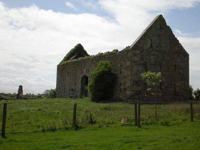
Threshing barn of Henblas, Grade II listed building in Llangristiolus. In an isolated location, set back from the SE side of the B4422 and prominantly sited on a raised knoll within farmland of the Henblas estate; c500m SW of Henblas house.
Location: Llangristiolus
Elevation above the sea: 69 m
GPS coordinates: 53.22441,-4.36860
Latest update: March 5, 2025 17:49
Malltraeth Marsh
2.6 km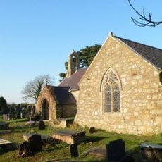
St Beuno's Church, Trefdraeth
2.2 km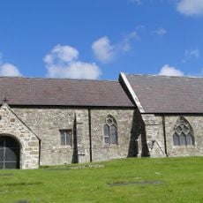
St Cristiolus's Church, Llangristiolus
3.3 km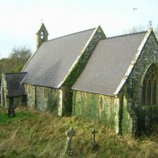
St Ceinwen's Church, Cerrigceinwen
1.4 km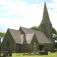
St Caffo's Church
4.6 km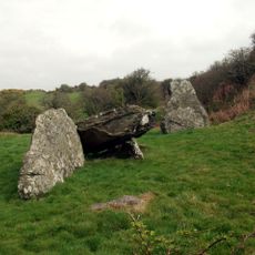
Din Dryfol
2.4 km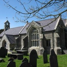
St Cadwaladr's Church
4.7 km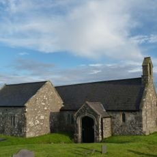
St Morhaiarn's Church
4.8 km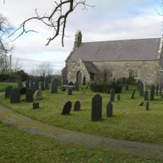
St Llwydian's Church
3.8 km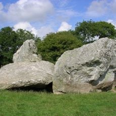
Henblas Burial Chamber
703 m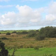
Cors Bodwrog
5 km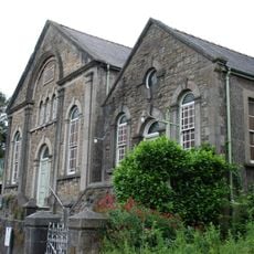
Smyrna Congregational Chapel and Hall
5 km
Capel Ebeneser And Chapel House (formerly Capel Cildwrn)
4.9 km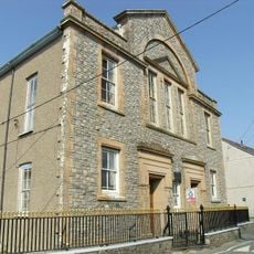
Capel Bethel
3 km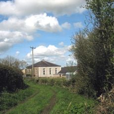
Capel Horeb
1.2 km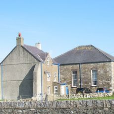
Sardis Chapel
3.7 km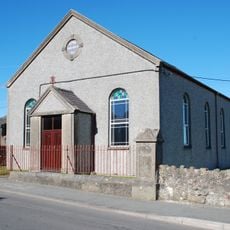
Capel Sardis
4.6 km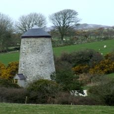
Melin Frogwy
5 km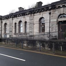
County Court
5 km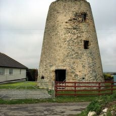
Melin Hermon
4.4 km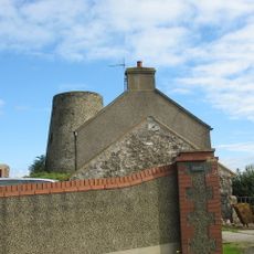
Melin Gwalchmai
4.9 km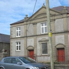
Jerusalem Chapel
4.5 km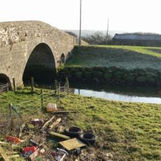
Pont Marquis
2.8 km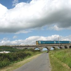
Bodorgan Viaduct
3.3 km
Capel Mawr
736 m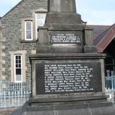
War memorial in front of the Shire Hall
5 km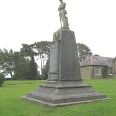
Llangefni County School War Memorial
5 km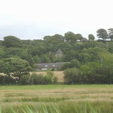
Plas Berw
4.6 kmReviews
Visited this place? Tap the stars to rate it and share your experience / photos with the community! Try now! You can cancel it anytime.
Discover hidden gems everywhere you go!
From secret cafés to breathtaking viewpoints, skip the crowded tourist spots and find places that match your style. Our app makes it easy with voice search, smart filtering, route optimization, and insider tips from travelers worldwide. Download now for the complete mobile experience.

A unique approach to discovering new places❞
— Le Figaro
All the places worth exploring❞
— France Info
A tailor-made excursion in just a few clicks❞
— 20 Minutes