
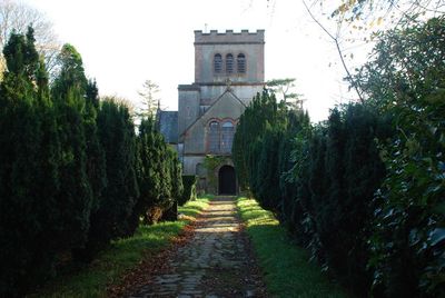
Church of St Buan, grade II listed building in Gwynedd, situated on the NW side of the A497 road, some 5.5 km NW of Pwllheli, in churchyard with continuous stone banking wall and lych-gates to S and W
Location: Buan
Elevation above the sea: 46.8 m
GPS coordinates: 52.91090,-4.49186
Latest update: April 28, 2025 23:08
Penyberth
3.6 km
Plas Bodegroes
3.8 km
Garn Boduan
2.1 km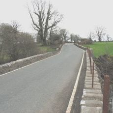
Pont Bodfel
2.1 km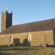
Church of St. Mary
3.4 km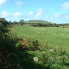
Moel Ty-gwyn
4 km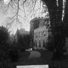
Madryn estate
4.3 km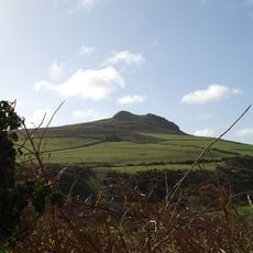
Garn Saethon
4.8 km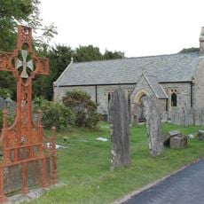
Church Of St Beuno
4.6 km
Carreglefain
3.3 km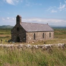
Church of St Michael
4 km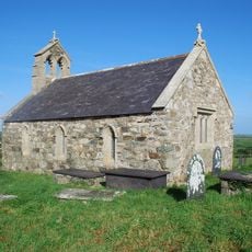
Church of St Ceidio
3.8 km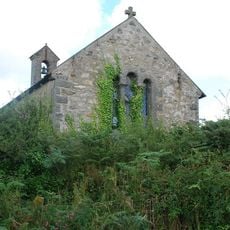
Church of St Cynfil
4.3 km
Church Of The Holy Cross
2.9 km
Amgueddfa Forwrol Llŷn Maritime Museum
3.4 km
Moreia Chapel
4.4 km
Pont Glan-rhyd
4.4 km
Pont Pensarn
4.3 km
Pont Rhydyclafdy
2.8 km
Nefyn Library
3.6 km
Pont Rhyd-hir
2.8 km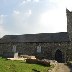
Llŷn Maritime Museum
3.4 km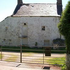
Llannerch
3.4 km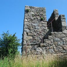
Nefyn Watch Tower
3.4 km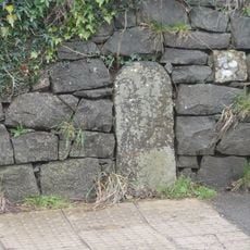
Milestone
4.2 km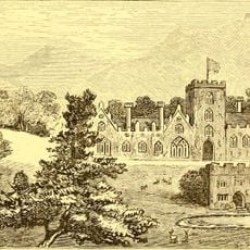
Madryn Castle
4.3 km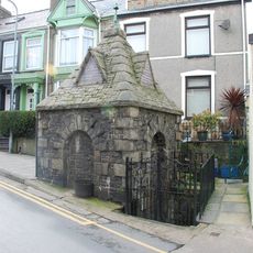
St Mary's Well
3.4 km
Hendafarn
4.3 kmVisited this place? Tap the stars to rate it and share your experience / photos with the community! Try now! You can cancel it anytime.
Discover hidden gems everywhere you go!
From secret cafés to breathtaking viewpoints, skip the crowded tourist spots and find places that match your style. Our app makes it easy with voice search, smart filtering, route optimization, and insider tips from travelers worldwide. Download now for the complete mobile experience.

A unique approach to discovering new places❞
— Le Figaro
All the places worth exploring❞
— France Info
A tailor-made excursion in just a few clicks❞
— 20 Minutes