
Fishguard Bridge, Grade II listed building in Pembrokeshire. Situated at the point where the A487 crosses the Afon Gwaun at the southern end of the estuary in Lower Town.
Location: Fishguard and Goodwick
Elevation above the sea: 2.3 m
GPS coordinates: 51.99491,-4.96903
Latest update: March 7, 2025 05:35

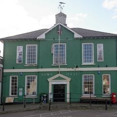
Fishguard Town Hall
484 m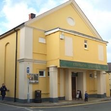
Theatr Gwaun
669 m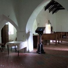
Llanstinan
5 km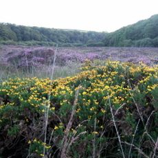
Esgyrn Bottom
2.8 km
Cwm Dewi
5.2 km
Parc y Meirw
3.8 km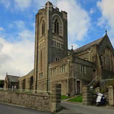
Church of St Peter
2.2 km
Berachah Presbyterian Church
2.1 km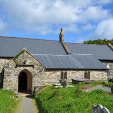
St Gwyndaf's Church
3.9 km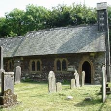
Church of St David
2.7 km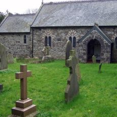
St Mary's Church
2.9 km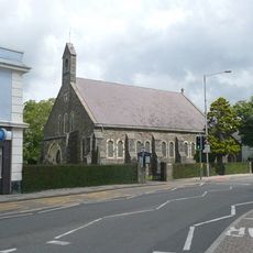
Parish Church of St Mary
464 m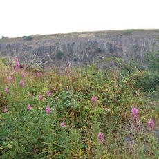
Pant-y-Phillip quarry
3.8 km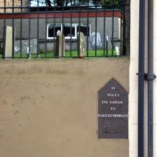
Mileplate in forecourt wall of Hermon Chapel
638 m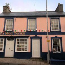
Bennett's Navy Tavern
606 m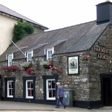
The Farmer's Arms
495 m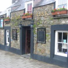
The Royal Oak
510 m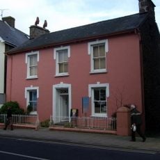
Seaways Bookshop
556 m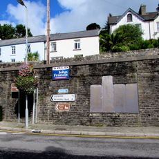
Lifeboat Memorial
2.1 km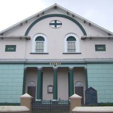
Hermon Welsh Baptist Church
621 m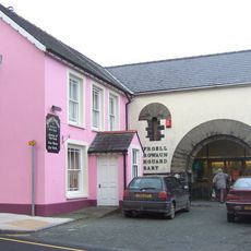
Fishguard Library
482 m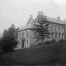
Trecŵn
5.1 km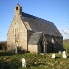
St David's Church, Llanllawer
2.7 km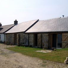
Ffynnon Clun farmhouse & adjoining outbuilding
2.9 km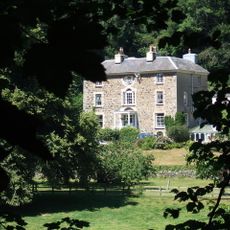
Plas Glyn-y-mêl
374 m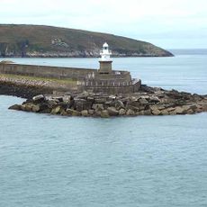
Fishguard North Breakwater Lighthouse
2 km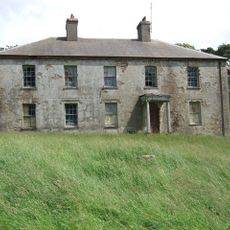
Court
3 km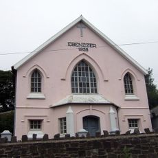
Ebeneser Welsh Independent Chapel
2.4 kmReviews
Visited this place? Tap the stars to rate it and share your experience / photos with the community! Try now! You can cancel it anytime.
Discover hidden gems everywhere you go!
From secret cafés to breathtaking viewpoints, skip the crowded tourist spots and find places that match your style. Our app makes it easy with voice search, smart filtering, route optimization, and insider tips from travelers worldwide. Download now for the complete mobile experience.

A unique approach to discovering new places❞
— Le Figaro
All the places worth exploring❞
— France Info
A tailor-made excursion in just a few clicks❞
— 20 Minutes