
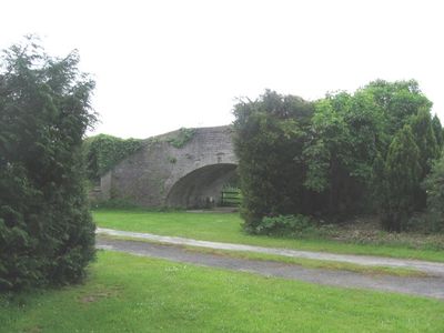
Canal Bridge On Roadway to Bridge Farm, B 4392 , Varchoel
Canal Bridge On Roadway to Bridge Farm, B 4392 , Varchoel, Grade II listed building in Guilsfield.
Location: Guilsfield
Elevation above the sea: 71 m
GPS coordinates: 52.71082,-3.13211
Latest update: September 23, 2025 16:46
Trewern Hall
3.6 km
St Mary's Church
5.6 km
Brook Street drill hall, Welshpool
5.6 km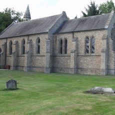
Holy Trinity Church, Penrhos
3.4 km
Gaer Fawr, Guilsfield
1.2 km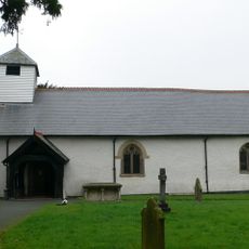
Church of All Saints
4.5 km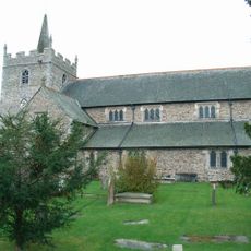
Church Of St. Aelhaiarn
2.3 km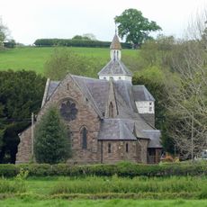
Church of Saint John Evangelist
2.5 km
Churchyard Wall and Gates, Church of St. Aelhaiarn
2.3 km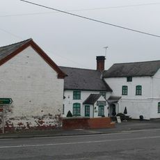
Green Dragon Inn
4.5 km
Welshpool Library
5.6 km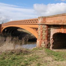
Buttington Bridge, A 458 , Buttington
4.4 km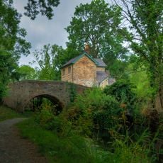
Bridge 110 over the Montgomeryshire Canal
2.4 km
School House
2.5 km
Bridge Over Montgomeryshire Canal, Welshpool Road Rhysnant
5.5 km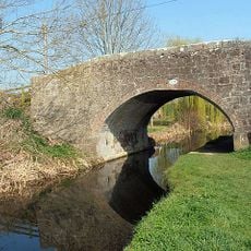
Dragon Bridge, Wern Lane, The Green
2.6 km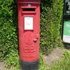
Pillar Box on corner with Erw Wen
5.3 km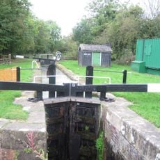
Bank Lock
2.4 km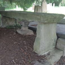
Jones Monument, Close to The South Gates of The Churchyard (Formerly Listed as Table Tomb to Richard
2.3 km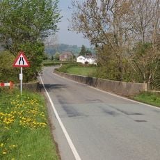
Pont Ysgawrhyd
4.7 km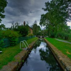
Crowther Hall Lock
2.4 km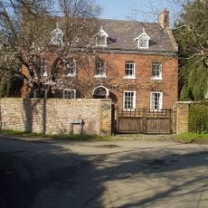
The Red House, Oak Lane (N Side) Guilsfield
2.3 km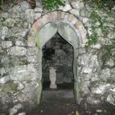
Grotto At Maesfron, A 458 (t) N Side, Trewern
4.8 km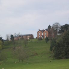
Tynllwyn Farmhouse
5 km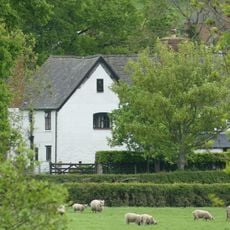
Trewern Farm (North) Farmhouse, Trewern
3.7 km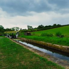
Cabin Lock
2.3 km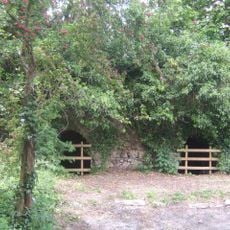
Buttington Limekilns
4.3 km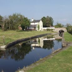
Lower Lock Chamber, Burgedin Lock, Burgedin
2.2 kmReviews
Visited this place? Tap the stars to rate it and share your experience / photos with the community! Try now! You can cancel it anytime.
Discover hidden gems everywhere you go!
From secret cafés to breathtaking viewpoints, skip the crowded tourist spots and find places that match your style. Our app makes it easy with voice search, smart filtering, route optimization, and insider tips from travelers worldwide. Download now for the complete mobile experience.

A unique approach to discovering new places❞
— Le Figaro
All the places worth exploring❞
— France Info
A tailor-made excursion in just a few clicks❞
— 20 Minutes