
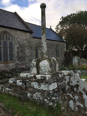
Churchyard Cross in St David's churchyard, Grade II listed building in Laleston. On the S side of the church near the porch.
Location: Laleston
Elevation above the sea: 60.5 m
GPS coordinates: 51.50629,-3.62177
Latest update: March 10, 2025 09:57
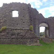
Newcastle Castle
2.7 km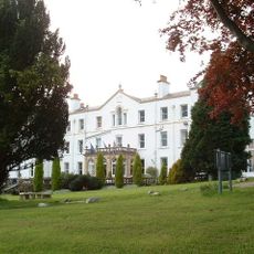
Court Colman Manor
2.2 km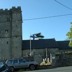
St David's Church
12 m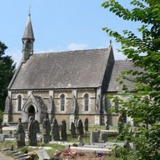
Church Of St Teilo
2.4 km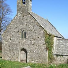
Church of St Tudwg
2 km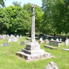
Preaching Cross in churchyard of St Teilo
2.5 km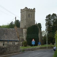
Church of All Saints, Pen-y-Fai
2.7 km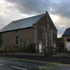
Horeb Welsh Calvinistic Methodist Chapel
220 m
Elim Pentecostal Church
2.8 km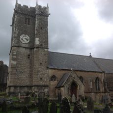
St Illtyd's Church
2.7 km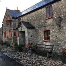
The Laleston Inn
106 m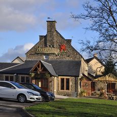
The Pheasant
2.8 km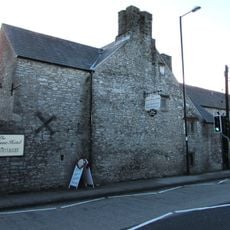
Tŷ Mawr Aka The Great House
91 m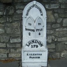
Milepost
113 m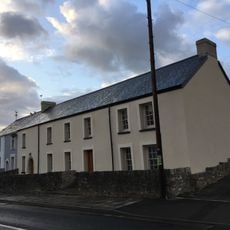
The Oystercatcher Public House
112 m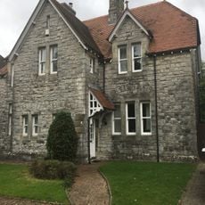
No.13 Merthyr Mawr Road, Former Preswylfa Children's Home
2.8 km
Gate piers to Tythegston Court
2.1 km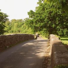
New Bridge
2.5 km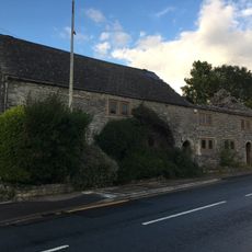
Village Farm House
143 m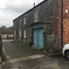
Coach House at Glanogwr, Glanogwr Road (Nw End)
2.7 km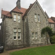
No.12 Merthyr Mawr Road, Former Preswylfa Children's Home
2.8 km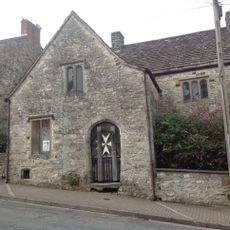
St John's Hospice
2.8 km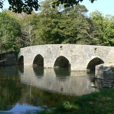
New Inn Bridge
2.1 km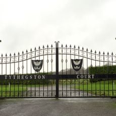
Tythegston Court
2.1 km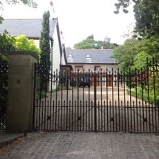
Newcastle House
2.6 km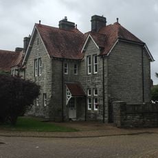
No.11 Merthyr Mawr Road, Former Preswylfa Children's Home
2.8 km
Glanogwr (Including Glanogwr Cottage) (Environmental Health Department)
2.7 km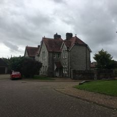
Nos.9 & 10 Merthyr Mawr Road, Former Preswylfa Children's Home
2.7 kmReviews
Visited this place? Tap the stars to rate it and share your experience / photos with the community! Try now! You can cancel it anytime.
Discover hidden gems everywhere you go!
From secret cafés to breathtaking viewpoints, skip the crowded tourist spots and find places that match your style. Our app makes it easy with voice search, smart filtering, route optimization, and insider tips from travelers worldwide. Download now for the complete mobile experience.

A unique approach to discovering new places❞
— Le Figaro
All the places worth exploring❞
— France Info
A tailor-made excursion in just a few clicks❞
— 20 Minutes