
Folly Bridge, Grade II listed building in Llangattock. The bridge carries a trackway and footpath NW from the hamlet of Dardy into woodland owned by the Glanusk Estate.
Location: Llangattock
Elevation above the sea: 115 m
GPS coordinates: 51.86133,-3.15755
Latest update: September 23, 2025 16:47

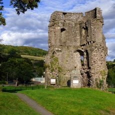
Crickhowell Castle
1.4 km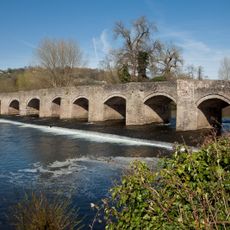
Crickhowell Bridge
1.2 km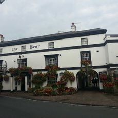
The Bear Hotel, High Street
1.4 km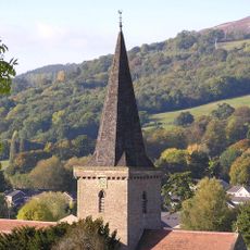
St. Edmunds King & Martyr Parish Church, New Road
1.3 km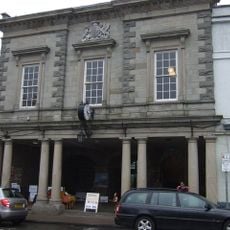
Crickhowell Market Hall
1.4 km
Church Of St Cattwg
1.1 km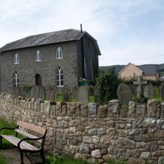
Bethesda Chapel
1.4 km
The Bridge End Inn
1.2 km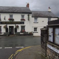
Horse Shoe Inn
1.2 km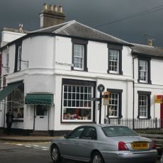
Tower Gallery
1.4 km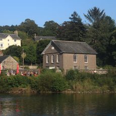
Bethabara Baptist Church
1.3 km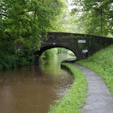
Fro Bridge (Canal Bridge No 122)
2 km
Crickhowell Library
1.4 km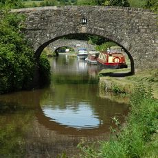
Lower Yard Bridge (Canal Bridge No 114)
1.6 km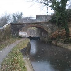
Pont Llangattock (Canal Bridge No 116)↵aka Ffawyddog Bridge
990 m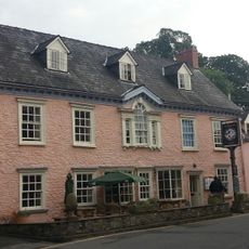
The Dragon Hotel,high Street
1.4 km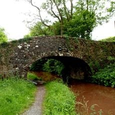
Spiteful Inn Bridge
2.6 km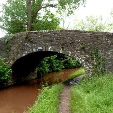
Pen-y-bryn Bridge
2.4 km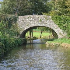
Pen-pedair-heol Bridge (Canal Bridge No 110)
2.6 km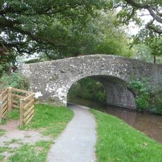
Park Bridge
2.2 km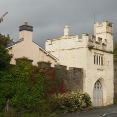
Porth-mawr Gatehouse,brecon Road
1.3 km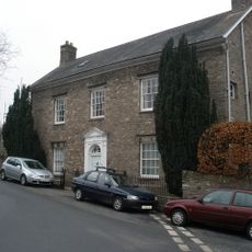
Dan-Y-Castell
1.4 km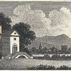
Llan Wysg
210 m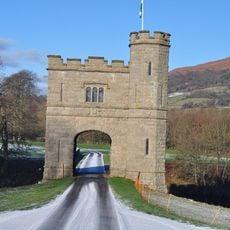
Tower Lodge And Glanusk Bridge (partly In Llanfihangel Cwmdu With Bwlch And Cathedine Community)
1.6 km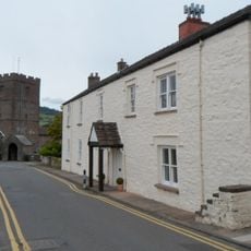
Old Six Bells
1.1 km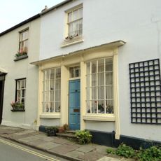
No.11 Bridge Street
1.3 km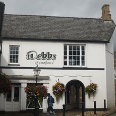
Nos.11-13 (Consec) (H.J. & D.Webb & Sons) High Street
1.4 km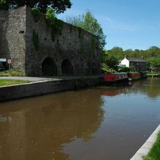
Bank Of Limekilns
1.5 kmReviews
Visited this place? Tap the stars to rate it and share your experience / photos with the community! Try now! You can cancel it anytime.
Discover hidden gems everywhere you go!
From secret cafés to breathtaking viewpoints, skip the crowded tourist spots and find places that match your style. Our app makes it easy with voice search, smart filtering, route optimization, and insider tips from travelers worldwide. Download now for the complete mobile experience.

A unique approach to discovering new places❞
— Le Figaro
All the places worth exploring❞
— France Info
A tailor-made excursion in just a few clicks❞
— 20 Minutes