
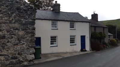
Rhine Cottage, Grade II listed building in Gwynedd. A pair of cottages, now one dwelling, standing at the E end of the village street, facing S over the bridge.
Location: Llanegryn
Elevation above the sea: 11.1 m
GPS coordinates: 52.62875,-4.06827
Latest update: April 29, 2025 23:05
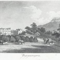
Ynysmaengwyn
3.1 km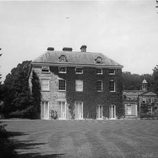
Peniarth
1.1 km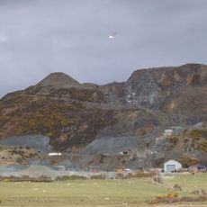
Tonfanau quarry
3.5 km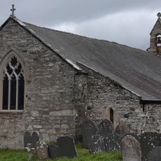
Church of St Mary and St Egryn
593 m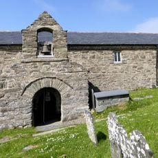
St Celynin's Church
3.5 km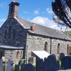
Church of St Celynin, Llwyngwril
4.1 km
Castell-y-Gaer
3.7 km
Ffridd Cocyn
2.6 km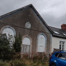
Capel Bethel, with vestry
53 m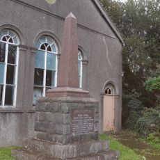
Monument to Parch. Hugh Owen
77 m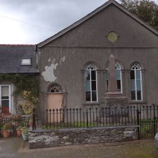
Capel Ebenezer, with vestry
71 m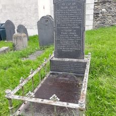
Grave of Mary Jones
2.3 km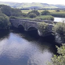
Pont Dysynni (partly in Llanegryn community)
1.6 km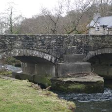
Pont y Garth (partly in Llanfihangel Community)
3.8 km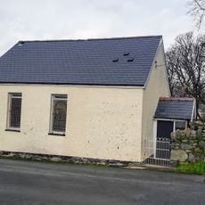
Peniel Welsh Independent Chapel
4.1 km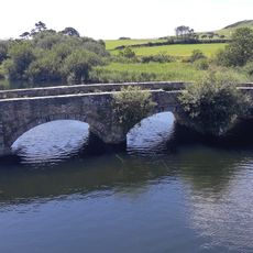
Pont Dysynni (partly in Bryn Crug community)
1.6 km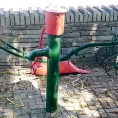
Water lift pump by Pont Fathew
2.3 km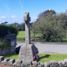
Llwyngwril War Memorial
4.1 km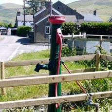
Water lift pump on road to Penowern
2.4 km
Lych gate and churchyard wall at Llangelynin church
3.4 km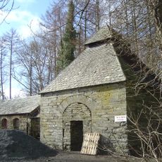
Dovecote at Ynysmaengwyn
3.1 km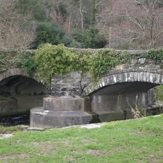
Pont y Garth (partly in Llanegryn community)
3.8 km
Mile Marker
2.3 km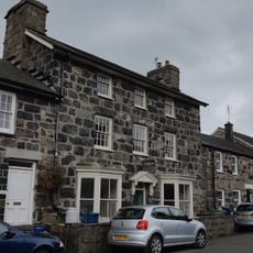
Bodegryn
52 m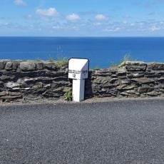
Milepost on A493
3.7 km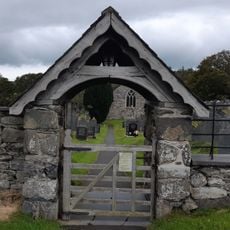
Lychgate at the Church of St Mary and St Egryn
546 m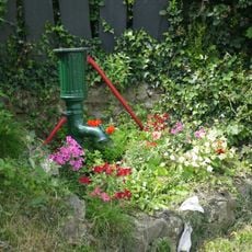
Water lift pump at Pen Parc
2.8 km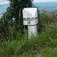
Milepost on A493
3.3 kmReviews
Visited this place? Tap the stars to rate it and share your experience / photos with the community! Try now! You can cancel it anytime.
Discover hidden gems everywhere you go!
From secret cafés to breathtaking viewpoints, skip the crowded tourist spots and find places that match your style. Our app makes it easy with voice search, smart filtering, route optimization, and insider tips from travelers worldwide. Download now for the complete mobile experience.

A unique approach to discovering new places❞
— Le Figaro
All the places worth exploring❞
— France Info
A tailor-made excursion in just a few clicks❞
— 20 Minutes