
Cmentarz rzym.-kat., ob. część cmentarza komunalnego, poł. XVI, cemetery in Gryfów Śląski, Lower Silesian Voivodeship, Poland
Location: Gryfów Śląski
Inception: 20 century
GPS coordinates: 51.03101,15.41381
Latest update: March 25, 2025 10:36

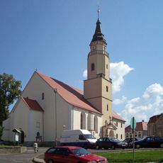
St. Jadwiga Church in Gryfów Śląski
217 m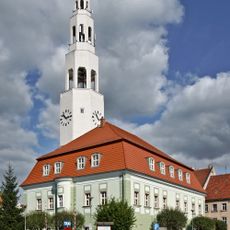
Town hall in Gryfów Śląski
351 m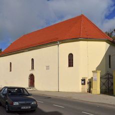
Saint Lawrence church in Gryfów Śląski
23 m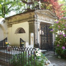
Cemetery in Gryfów Śląski
69 m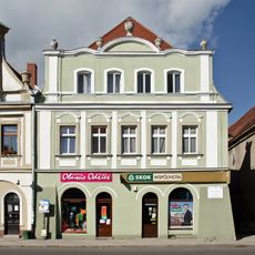
13 Market Square in Gryfów Śląski
340 m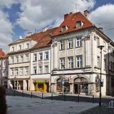
Rynek 31
326 m
Rynek 32
333 m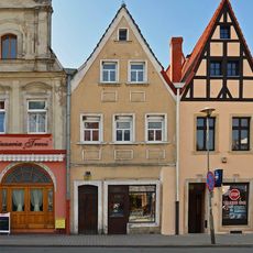
15 Market Square in Gryfów Śląski
320 m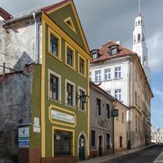
Wojska Polskiego 60
382 m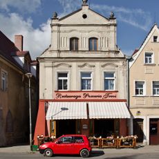
14 Market Square in Gryfów Śląski
327 m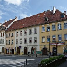
Rynek 37
386 m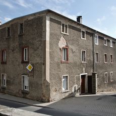
8 Kościelny Square in Gryfów Śląski
237 m
Felczerska 13
314 m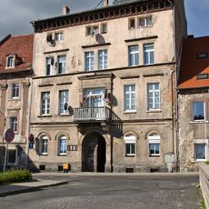
10 Lubańska Street in Gryfów Śląski
224 m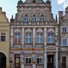
Rynek 5
389 m
Rynek 6
390 m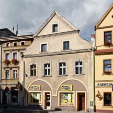
10 Market Square in Gryfów Śląski
365 m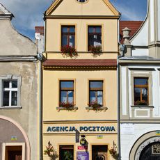
11 Market Square in Gryfów Śląski
356 m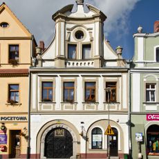
12 Market Square in Gryfów Śląski
350 m
9 Lubańska Street in Gryfów Śląski
236 m
Rynek 34
358 m
Plebania rzym.-kat.
227 m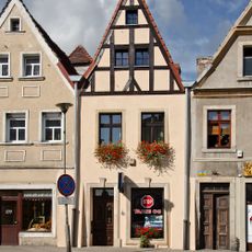
16 Market Square in Gryfów Śląski
315 m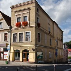
18 Market Square in Gryfów Śląski
303 m
Rynek 33
352 m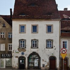
6 Bankowa Street in Gryfów Śląski
253 m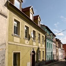
Felczerska 1a
312 m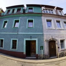
Felczerska 2
317 mReviews
Visited this place? Tap the stars to rate it and share your experience / photos with the community! Try now! You can cancel it anytime.
Discover hidden gems everywhere you go!
From secret cafés to breathtaking viewpoints, skip the crowded tourist spots and find places that match your style. Our app makes it easy with voice search, smart filtering, route optimization, and insider tips from travelers worldwide. Download now for the complete mobile experience.

A unique approach to discovering new places❞
— Le Figaro
All the places worth exploring❞
— France Info
A tailor-made excursion in just a few clicks❞
— 20 Minutes