
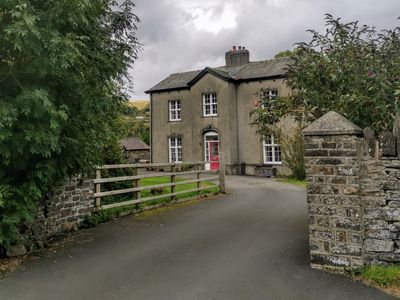
The Vicarage, grade II listed building in Llanilar, situated about 150m NNE of church
Location: Llanilar
Elevation above the sea: 34 m
GPS coordinates: 52.35813,-4.02119
Latest update: March 11, 2025 18:06
Wales Coast Path
3.8 km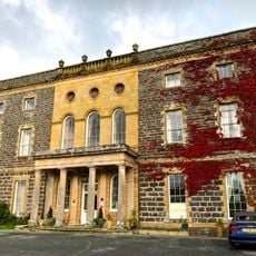
Nanteos
3.4 km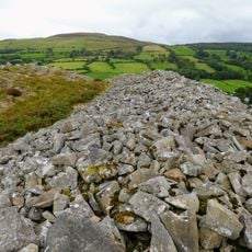
Gaer Fawr
4.2 km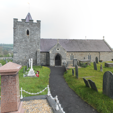
Church of Saint Ilar
184 m
Old Warren Hill
3.6 km
St Michael's Church
4.1 km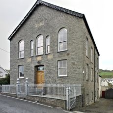
Capel Carmel
272 m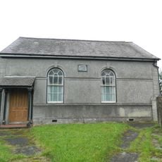
Capel Moriah including chapel house
4.2 km
Capel Cynnon including vestry
3.2 km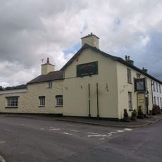
The Falcon Inn
224 m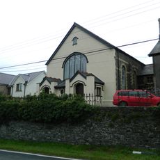
Capel Seion
4.1 km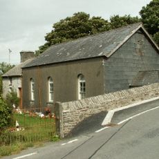
Pant-Glas Calvinistic Methodist Chapel/Sunday School
2 km
Cilcwm Calvinistic Methodist Sunday School
2.2 km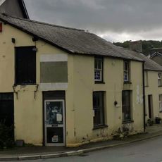
Glanadair with railings and attached shop
227 m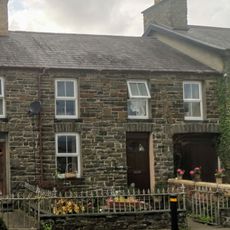
Llwyn with front railings
235 m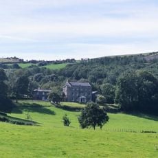
Castle Hill
598 m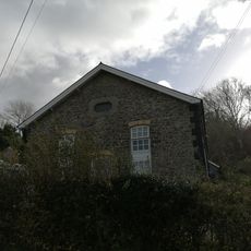
Horeb Chapel
2.2 km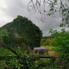
Outbuilding to N of Vicarage
62 m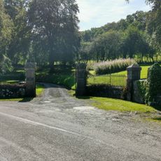
Gates, piers and railings to Plas Llidiardau
1.3 km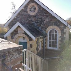
Capel Marian Calvinistic Methodist Sunday School
4.3 km
Tŷ Cnwc
1 km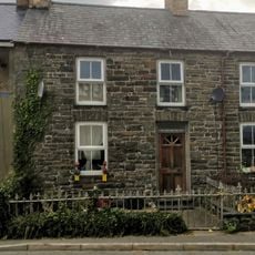
Islwyn and front railings
241 m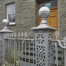
Gates and railings to Capel Carmel
263 m
Penuwch Fawr
3.7 km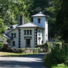
Nanteos Lodge, including gate pier, gate and railings
3.6 km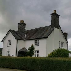
Glanhaul
267 m
Castle Hill Lodge
721 m
Stable Court At Nanteos, Including Attached Outbuilding To S
3.4 kmReviews
Visited this place? Tap the stars to rate it and share your experience / photos with the community! Try now! You can cancel it anytime.
Discover hidden gems everywhere you go!
From secret cafés to breathtaking viewpoints, skip the crowded tourist spots and find places that match your style. Our app makes it easy with voice search, smart filtering, route optimization, and insider tips from travelers worldwide. Download now for the complete mobile experience.

A unique approach to discovering new places❞
— Le Figaro
All the places worth exploring❞
— France Info
A tailor-made excursion in just a few clicks❞
— 20 Minutes