
Denkmal Wilhelm Ruthe, هيكل معماري في ألمانيا
Location: Eltville am Rhein
Address: Mannberg
GPS coordinates: 50.01822,8.07685
Latest update: June 13, 2024 15:02
Marcobrunn
179 m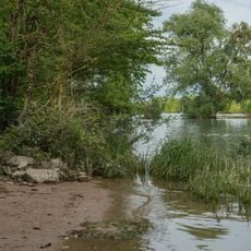
Naturschutzgebiet Erbacher Wäldchen
639 m
Haus Weinbergstraße (Hattenheim) 1Hauptstraße (Hattenheim) 2
1.1 km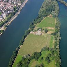
Mariannenaue
772 m
Grenzstein am Leinpfad
653 m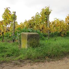
Gütergrenzsteine
524 m
Haus Hauptstraße (Hattenheim) 1
1.1 km
Leinpfad
1.1 km
Haus Weinbergstraße (Hattenheim) 7
1.1 km
Haus Erbacher Landstraße 9
1 km
Mariannenaue
948 m
Haus Weinbergstraße (Hattenheim) 4
1 km
Haus Weinbergstraße (Hattenheim) 3
1.1 km
Haus Weinbergstraße (Hattenheim) 6
1.1 km
Kreuzigungsgruppe am Schlossberg
1 km
Haus Weinbergstraße (Hattenheim) 2
1.1 km
Grenzstein
650 m
Wayside cross
1 km
Dillnetz-Kreuz
960 m
Kreuz
949 m
Alter Ortskern Hattenheim
842 m
Gedenkstein Mannwerk
826 m
Wayside cross
795 m
Aussichtspunkt Hattenheimer Fahne
1.1 km
Nussbrunnen
774 m
Heiligenhäuschen
766 m
Marienkrönung
459 m
Bildstock Marienkrönung
208 mReviews
Visited this place? Tap the stars to rate it and share your experience / photos with the community! Try now! You can cancel it anytime.
Discover hidden gems everywhere you go!
From secret cafés to breathtaking viewpoints, skip the crowded tourist spots and find places that match your style. Our app makes it easy with voice search, smart filtering, route optimization, and insider tips from travelers worldwide. Download now for the complete mobile experience.

A unique approach to discovering new places❞
— Le Figaro
All the places worth exploring❞
— France Info
A tailor-made excursion in just a few clicks❞
— 20 Minutes