
Sand pit west of Schildau
Sand pit west of Schildau, natural monument area in Belgern-Schildau Municipality, Saxony, Germany
Location: Belgern-Schildau
Part of: Dahlener Heide
GPS coordinates: 51.45349,12.90646
Latest update: March 3, 2025 19:18

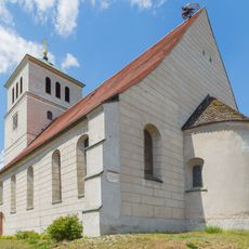
St. Marien
1.6 km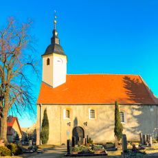
Kirche Kobershain
2.3 km
St. Georg (Probsthain)
2 km
Kirche mit Ausstattung und Kirchhof mit Einfriedung Dorfstraße -
2.1 km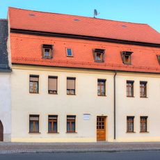
Marktstraße 19
1.6 km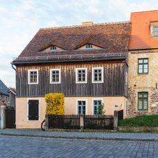
Karl-Liebknecht-Straße 16
1.6 km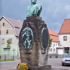
Gneisenaudenkmal
1.6 km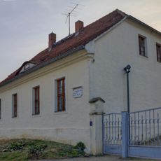
Kirchberg 4
1.6 km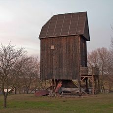
Probsthainer Windmühle
1.1 km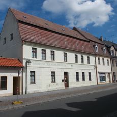
Marktstraße 14
1.6 km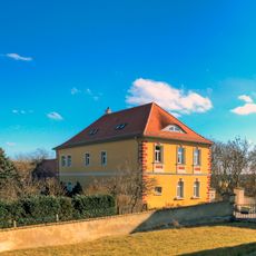
Pfarrhaus Schildau
1.6 km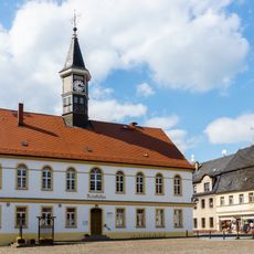
Rathaus Schildau
1.6 km
Zündschnurfabrik
1.8 km
Windmühle Probsthainerstraße
980 m
Denkmal für die Gefallenen des Ersten Weltkrieges Dorfstraße
1.1 km
Kriegerdenkmal
1.8 km
Rittergut Kobershain
2.5 km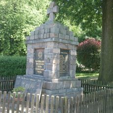
Denkmal für die Gefallenen des Ersten Weltkrieges Neue Hauptstraße -
2.4 km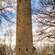
Schildbergturm
1.8 km
Gneisenaustraße 2
1.7 km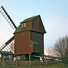
Kobershainer Windmühle
2.1 km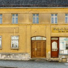
Marktstraße 7
1.5 km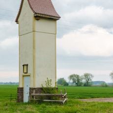
Transformatorenstation Probsthain (Belgern-Schildau)
1.5 km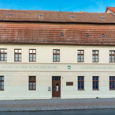
Gneisenaumuseum
1.6 km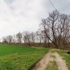
Former railway line north of Schildau
1.5 km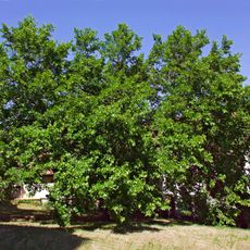
Morus alba in Schildau
1.6 km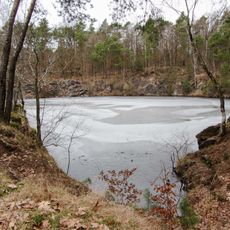
Pond in stone quarry on Schildauer Berg
2.1 km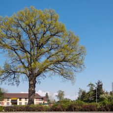
Quercus robur in Schildau
1.9 kmReviews
Visited this place? Tap the stars to rate it and share your experience / photos with the community! Try now! You can cancel it anytime.
Discover hidden gems everywhere you go!
From secret cafés to breathtaking viewpoints, skip the crowded tourist spots and find places that match your style. Our app makes it easy with voice search, smart filtering, route optimization, and insider tips from travelers worldwide. Download now for the complete mobile experience.

A unique approach to discovering new places❞
— Le Figaro
All the places worth exploring❞
— France Info
A tailor-made excursion in just a few clicks❞
— 20 Minutes