
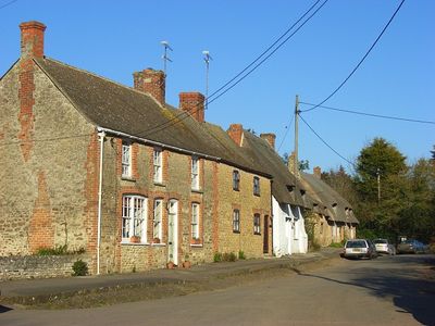
Little Coxwell, village and civil parish in Vale of White Horse district, Oxfordshire, England
Location: Vale of White Horse
Shares border with: Great Faringdon, Great Coxwell, Longcot, Fernham, Shellingford
Website: https://littlecoxwell.org.uk
GPS coordinates: 51.63900,-1.59500
Latest update: March 2, 2025 22:19
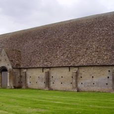
Great Coxwell Barn
1.4 km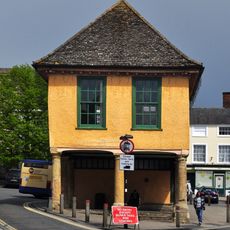
Old Town Hall
2.3 km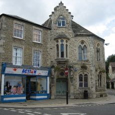
Corn Exchange
2.2 km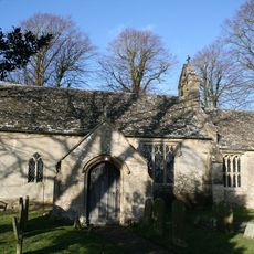
Church of St Mary
120 m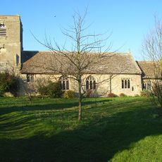
Church of St Mary
2.8 km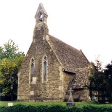
Church of St John
2 km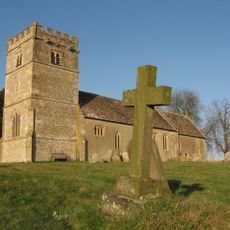
Church of St Giles
1.1 km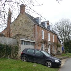
Chapel House
1.1 km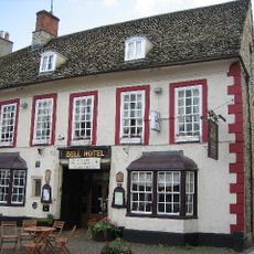
The Bell Inn
2.3 km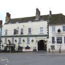
The Crown Hotel
2.3 km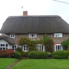
Manor Cottage
1.1 km
Danes House
1.2 km
Pear Tree Cottage
1.3 km
Corner Cottage
2 km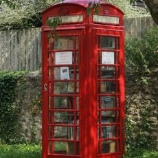
K6 telephone kiosk to south of Chapel House
1.1 km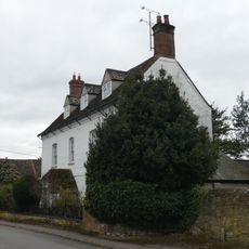
Holloway And Attached Railings
1.2 km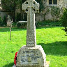
Longcot War Memorial
2.8 km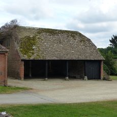
Shelter shed with granary
1.3 km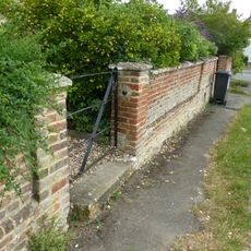
Front garden wall to Danes House
1.2 km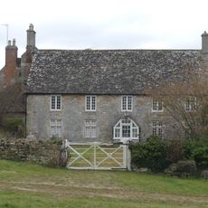
Court House Farmhouse
1.3 km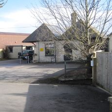
The Old Station
1.8 km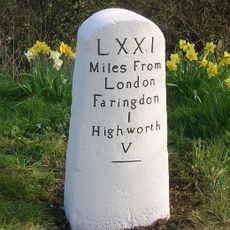
Milestone, Highworth Road; opp. Highways Depot
1.6 km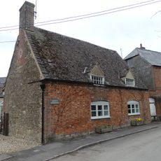
Greens' Farmhouse
1.3 km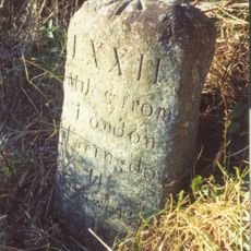
Milestone approximately 70 metres to west of turning to Great Coxwell
1.9 km
Wayside
1.2 km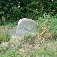
Milestone, Coxwell Road; W of outskirts of Faringdon
831 m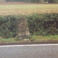
Milestone, E of Plough Inn PH
897 m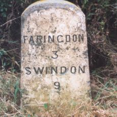
Milestone, Field Farm, between entrance & Longcot turn
2.5 kmVisited this place? Tap the stars to rate it and share your experience / photos with the community! Try now! You can cancel it anytime.
Discover hidden gems everywhere you go!
From secret cafés to breathtaking viewpoints, skip the crowded tourist spots and find places that match your style. Our app makes it easy with voice search, smart filtering, route optimization, and insider tips from travelers worldwide. Download now for the complete mobile experience.

A unique approach to discovering new places❞
— Le Figaro
All the places worth exploring❞
— France Info
A tailor-made excursion in just a few clicks❞
— 20 Minutes