126, Dalston Lane E8, building in Hackney, Greater London, UK
Location: London Borough of Hackney
GPS coordinates: 51.54808,-0.06830
Latest update: November 21, 2025 08:10
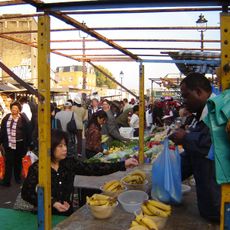
Ridley Road Market
318 m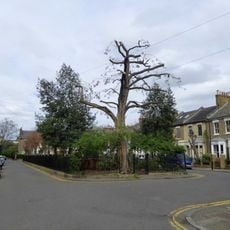
Fassett Square
216 m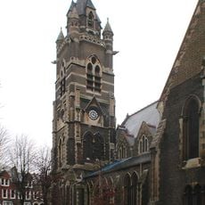
Church of St Mark
209 m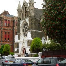
Hamburg Lutheran Church
138 m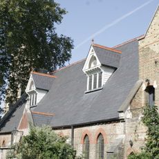
St Marks Church Hall And Vergers House
168 m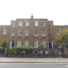
182 And 184, Dalston Lane E8
262 m
224 And 226, Dalston Lane E8
450 m
Chalmar House
351 m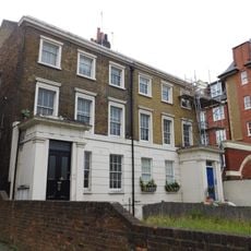
212 And 214, Dalston Lane E8
404 m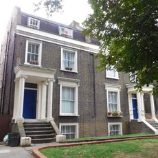
216-222, Dalton Lane E8
421 m
364-372, Queensbridge Road E2
386 m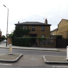
186, Dalston Lane E8
289 m
378 And 380, Queensbridge Road E2
345 m
Marlow House
150 m
168, Dalston Lane E8
199 m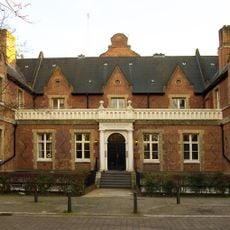
Lodge To West Entrance Of German Hospital
109 m
166, Dalston Lane E8
188 m
Hackney Free And Parochial School
385 m
358 And 360, Queensbridge Road E2
415 m
374 And 376, Queensbridge Road E2
364 m
Main Block And Attached Extension To East At The German Hospital
204 m
St Bartholomew's Vicarage
217 m
162 And 164, Dalston Lane E8
174 m
Colveston Primary School
420 m
113, Dalston Lane E8
98 m
Forecourt Railings To Colvestone Primary School
396 m
57, Dalston Lane E8
225 m
Forecourt Railings To Number 126
6 mReviews
Visited this place? Tap the stars to rate it and share your experience / photos with the community! Try now! You can cancel it anytime.
Discover hidden gems everywhere you go!
From secret cafés to breathtaking viewpoints, skip the crowded tourist spots and find places that match your style. Our app makes it easy with voice search, smart filtering, route optimization, and insider tips from travelers worldwide. Download now for the complete mobile experience.

A unique approach to discovering new places❞
— Le Figaro
All the places worth exploring❞
— France Info
A tailor-made excursion in just a few clicks❞
— 20 Minutes