The Chantry, architectural structure in Reigate and Banstead, Surrey, UK
Location: Reigate and Banstead
GPS coordinates: 51.23019,-0.19081
Latest update: November 19, 2025 15:11
Woodhatch Place, Reigate
679 m
St John's, Redhill
938 m
Church of St Mary Magdalene
852 m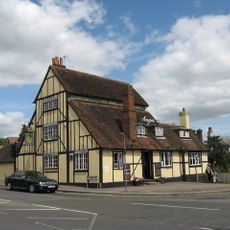
The Angel Inn
866 m
The Cottage
293 m
Mount Cottage
669 m
Greenmead Cottage
651 m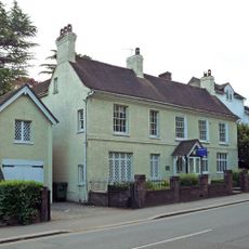
St Michael's
950 m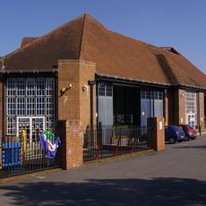
London Country Bus Services Limited Bus Garage With Attached Service Block
905 m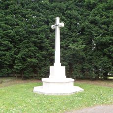
Reigate Cemetery Cross of Sacrifice
786 m
109A And 109B, Bell Street
959 m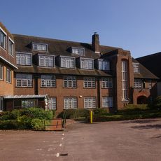
London Country Bus Services Limited, 1932 Office Block
954 m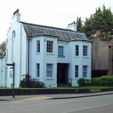
107, Bell Street
968 m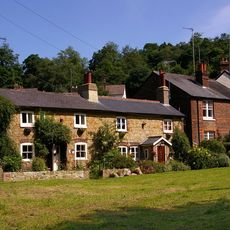
8 And 9, Pendleton Road
930 m
Bowl barrow on Earlswood Common 20m south of Pendleton Road
779 m
Cherchefelle
936 m
Ruins In South-West Corner Of Grounds Of No 2 Chart Lane
926 m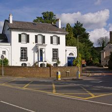
Delville
984 m
Gateway In South Wall Of Grounds Of No 2 (Cherchefelle)
894 m
Yew Cottage
828 m
10 and 11, Pendleton Road
883 m
27, Lesbourne Road
781 m
Grotto Including Steps And South Boundary Wall At 6 Monk's Walk, Reigate
945 m
The Old House
670 m
Belldomus
939 m
Dunottar School High Trees
123 m
Gallery One Reigate
944 m
George V Jubilee
890 mReviews
Visited this place? Tap the stars to rate it and share your experience / photos with the community! Try now! You can cancel it anytime.
Discover hidden gems everywhere you go!
From secret cafés to breathtaking viewpoints, skip the crowded tourist spots and find places that match your style. Our app makes it easy with voice search, smart filtering, route optimization, and insider tips from travelers worldwide. Download now for the complete mobile experience.

A unique approach to discovering new places❞
— Le Figaro
All the places worth exploring❞
— France Info
A tailor-made excursion in just a few clicks❞
— 20 Minutes