
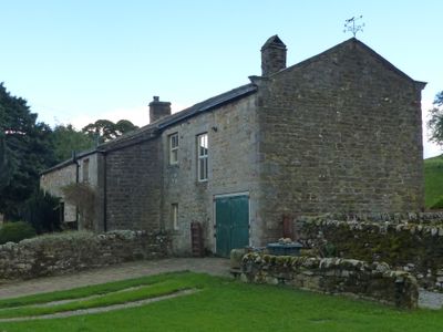
Kail Farmhouse, farmhouse in Thorpe, Craven, North Yorkshire, UK
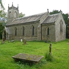
Church of St Peter
1.8 km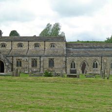
Church of St Michael and All Angels
1.7 km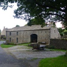
Manor House Barn and approach bridge
108 m
Clapper bridge approximately 20 metres east of Fountaines Hospital
1.8 km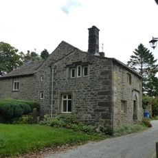
Sunnybank and the Post Office
1.8 km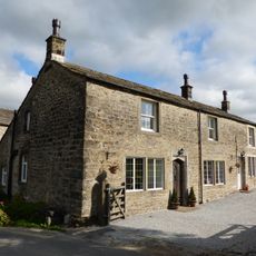
Brows View
1.8 km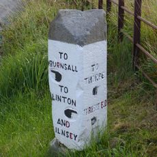
Guide stone at SE 0095 6247
869 m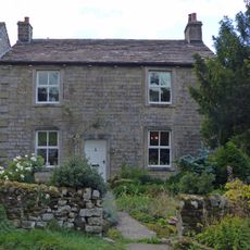
Hardcastle House
152 m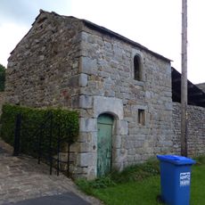
Bull house opposite Kail Farmhouse
21 m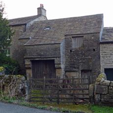
Barn and byre to east of Hardcastle House
145 m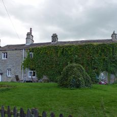
Sunnyside and Sunnybank
53 m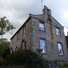
Holly Tree Farmhouse
40 m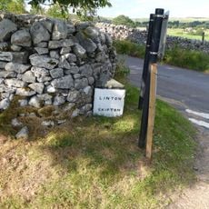
Guide post at SE 0010 6293
1.7 km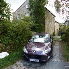
Stonycroft
205 m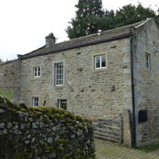
Outbuilding opposite Manor House
138 m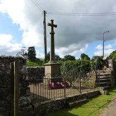
Linton-in-Craven War Memorial
1.7 km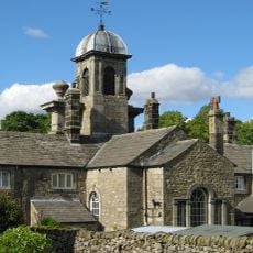
Fountaines Hospital
1.9 km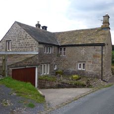
Blackburn House
224 m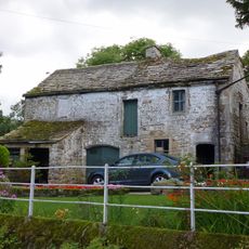
Barn and bothy range to S of Hardy Grange Farmhouse
158 m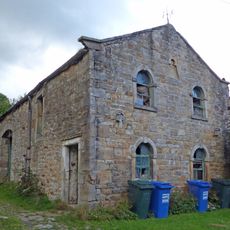
Barn approximately 10 metres south of Holly Tree Farmhouse
32 m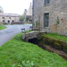
Culvert mouth, lining walls, bridge and sheepwash west of Manor House Barn
104 m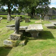
Linton churchyard cross and sundial
1.7 km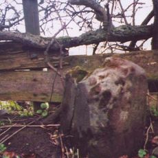
Milestone At Se 0156 6320
1.5 km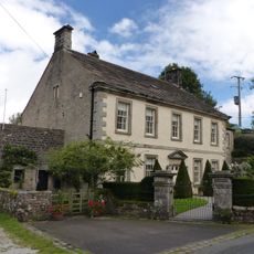
Manor house with wall and gate piers
154 m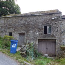
Outbuilding to west end of Hardcastle House
152 m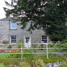
Hardy Grange Farmhouse
172 m
Grange Farmhouse
1.8 km
Milestone, UC lane off Lauradale Lane
1.9 kmReviews
Visited this place? Tap the stars to rate it and share your experience / photos with the community! Try now! You can cancel it anytime.
Discover hidden gems everywhere you go!
From secret cafés to breathtaking viewpoints, skip the crowded tourist spots and find places that match your style. Our app makes it easy with voice search, smart filtering, route optimization, and insider tips from travelers worldwide. Download now for the complete mobile experience.

A unique approach to discovering new places❞
— Le Figaro
All the places worth exploring❞
— France Info
A tailor-made excursion in just a few clicks❞
— 20 Minutes