
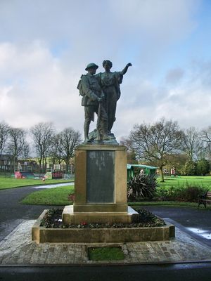
War Memorial, war memorial in Hyndburn, Lancashire, UK
Location: Hyndburn
Creator: John Cassidy
GPS coordinates: 53.77446,-2.38925
Latest update: March 8, 2025 14:12

Dunkenhalgh
979 m
St James' Church, Church Kirk
1.9 km
St Bartholomew's Church, Great Harwood
2 km
St John's Church, Great Harwood
1.5 km
The Victoria
1.3 km
Great Harwood Town Hall
1.7 km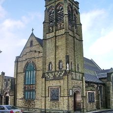
Church of St Andrew
2.4 km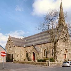
Church of St John the Evangelist
2.7 km
Church of All Saints, Clayton-le-Moors
99 m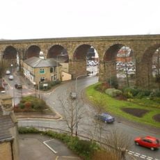
Accrington Viaduct
2.6 km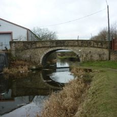
Canal Bridge Number 111
2.5 km
Roman Catholic Church of Our Lady and St Hubert, and Attached Presbytery
1.4 km
Canal Bridge Number 111D
2.4 km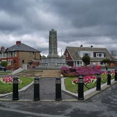
Rishton War Memorial
2.6 km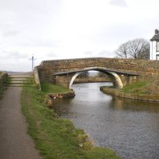
Church Kirk Bridge Number 112
1.9 km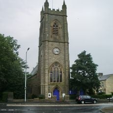
St Peter and St Paul's Church, Rishton
2.1 km
Clayton-le-Moors Library
356 m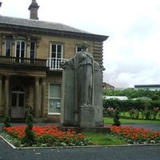
Church War Memorial
2.1 km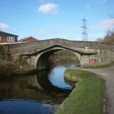
Tottleworth Bridge (Number 108)
1.7 km
Mercer Memorial Tower
1.8 km
Great Harwood War Memorial
2.2 km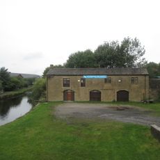
Stable Block On East Side Of Leeds-Liverpool Canal Opposite Canal Company Warehouses
602 m
Moor Side House
1.7 km
Canal Warehouses With Attached Office And House, On West Side Of Leeds-Liverpool Canal
595 m
Canal Warehouse
2.4 km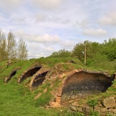
Remains of Aspen Colliery, associated beehive coking ovens and canal basin
2.6 km
Milestone, Whalley Road
2.5 km
Milestone, Burnley Road, Allotment Hall Farm
1.7 kmVisited this place? Tap the stars to rate it and share your experience / photos with the community! Try now! You can cancel it anytime.
Discover hidden gems everywhere you go!
From secret cafés to breathtaking viewpoints, skip the crowded tourist spots and find places that match your style. Our app makes it easy with voice search, smart filtering, route optimization, and insider tips from travelers worldwide. Download now for the complete mobile experience.

A unique approach to discovering new places❞
— Le Figaro
All the places worth exploring❞
— France Info
A tailor-made excursion in just a few clicks❞
— 20 Minutes