
36 and 37 Chapel Brow, house in Downham, Ribble Valley, Lancashire, UK
Location: Downham
Inception: 1684
GPS coordinates: 53.89211,-2.32634
Latest update: May 2, 2025 22:29

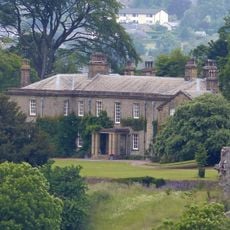
Downham Hall
437 m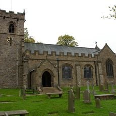
St Leonard's Church, Downham
343 m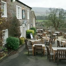
Assheton Arms
330 m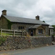
Downham Church of England School
221 m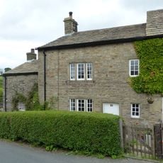
35 Chapel Brow
9 m
Fir Tree House
101 m
Bridge approximately 15 metres south west of Fir Tree House
103 m
Old Well Hall
143 m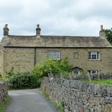
7 Top Row
365 m
Stocks
310 m
Post Office and house adjoining to east
299 m
Greengates
47 m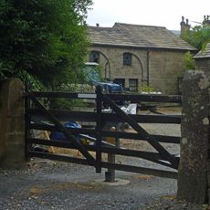
Building on east side of yard at Home Farm, north west of Downham Hall
486 m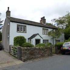
The White House
209 m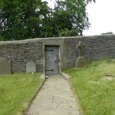
Door and surround in garden wall, Downham Hall, approximately 10 metres south west of church tower
345 m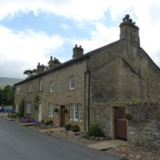
45
173 m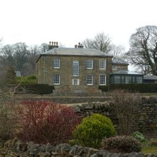
The Lidgett House
257 m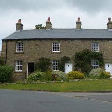
2, 3 and 4 Top Row
360 m
Barn approximately 15 metres north of Fir Tree House
129 m
Laneside Farmhouse and barn adjoining to west
268 m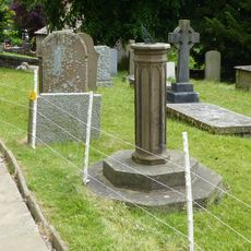
Sundial In Churchyard Approximately 8 Metres South Of Chancel, Church Of St Leonard
327 m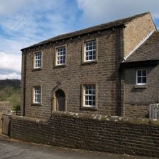
Village Hall
52 m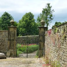
Pair of gatepiers in Downham Hall garden, approximately 60 metres north west of school
287 m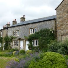
5 and 6 Top Row
359 m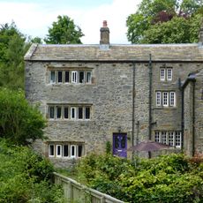
Lower Hall Cottages
249 m
Briar Cottage
163 m
Pendlehurst The Cottage
189 m
Lower Hall Cottages
241 mReviews
Visited this place? Tap the stars to rate it and share your experience / photos with the community! Try now! You can cancel it anytime.
Discover hidden gems everywhere you go!
From secret cafés to breathtaking viewpoints, skip the crowded tourist spots and find places that match your style. Our app makes it easy with voice search, smart filtering, route optimization, and insider tips from travelers worldwide. Download now for the complete mobile experience.

A unique approach to discovering new places❞
— Le Figaro
All the places worth exploring❞
— France Info
A tailor-made excursion in just a few clicks❞
— 20 Minutes