
Drinking Trough, Grade II listed building in Conwy County Borough. On island in road at junction with Trinity Square and Madoc Street.
Location: Llandudno
Elevation above the sea: 5 m
GPS coordinates: 53.32212,-3.82866
Latest update: March 6, 2025 09:45

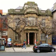
Llandudno Library
175 m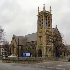
Church of The Holy Trinity, including attached hall
117 m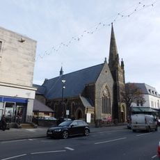
St John's English Methodist Church
182 m
Churchyard Walls, Gates and Piers to Church of The Holy Trinity
100 m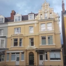
Emrys Williams Gallery
123 m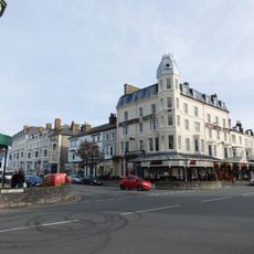
Alexandra Hotel
169 m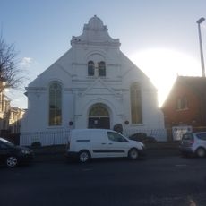
Rehoboth Calvinistic Methodist Chapel
195 m
21 Mostyn Street, Llandudno
221 m
9,Clonmel Street, Llandudno
181 m
29, Mostyn Street, Llandudno
197 m
Nos 4 To 6 (Consec) Bodafon Street, Llandudno
210 m
19, Lloyd Street,Llandudno
217 m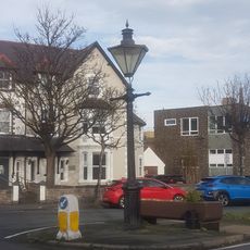
Lamp Standard
4 m
31, Mostyn Street, Llandudno
193 m
27 Mostyn Street, Llandudno
202 m
10,Clonmel Street, Llandudno
175 m
Queen's Lodge Hotel
211 m
33, Mostyn Street, Llandudno
188 m
27, Lloyd Street, Llandudno
222 m
Vanguard Mobile Communications, and Sefton Mansions above
204 m
5,Lloyd Street, including verandah,Llandudno
223 m
Nos 6 Bodafon Street, Llandudno
219 m
Lamp Standard
188 m
Nos 5 Bodafon Street, Llandudno
215 m
Hsbc
219 m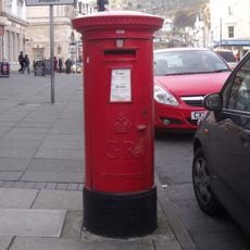
Pillar Box
201 m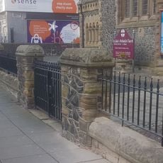
Dwarf Walls Piers & Gates to St John's Methodist Church
163 m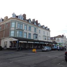
Nos 21 To 27 (Odd Nos) Lloyd Street, Llandudno
217 mReviews
Visited this place? Tap the stars to rate it and share your experience / photos with the community! Try now! You can cancel it anytime.
Discover hidden gems everywhere you go!
From secret cafés to breathtaking viewpoints, skip the crowded tourist spots and find places that match your style. Our app makes it easy with voice search, smart filtering, route optimization, and insider tips from travelers worldwide. Download now for the complete mobile experience.

A unique approach to discovering new places❞
— Le Figaro
All the places worth exploring❞
— France Info
A tailor-made excursion in just a few clicks❞
— 20 Minutes