
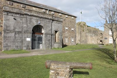
Former County Gaol, Grade II listed building in Pembrokeshire. Situated to W of the castle ruins on the site of the outer ward.
Location: Haverfordwest
Elevation above the sea: 29.3 m
GPS coordinates: 51.80271,-4.97041
Latest update: March 25, 2025 07:23

Haverfordwest Castle
38 m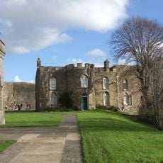
Haverfordwest Town Museum
32 m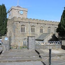
St Mary's Church, Haverfordwest
195 m
Shire Hall, Haverfordwest
174 m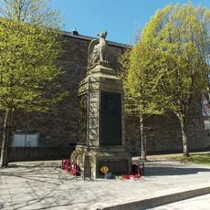
County of Pembroke War Memorial
310 m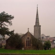
Church of Saint Martin of Tours, Haverfordwest
128 m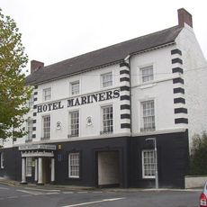
Hotel Mariners
203 m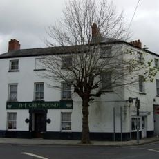
The Greyhound
172 m
10 Bridge Street (The Commercial Hotel), Haverfordwest
233 m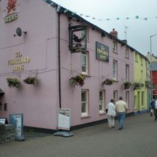
The Fishguard Arms Inn
148 m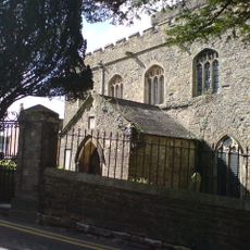
Churchyard walls and gates to Saint Martin's Church
150 m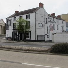
The County Hotel
299 m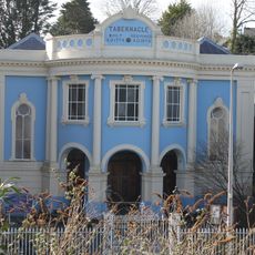
Tabernacle English Congregational Church
200 m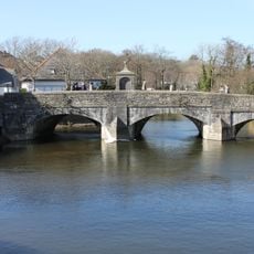
The Old Bridge
175 m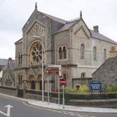
Bethesda English Baptist Church
189 m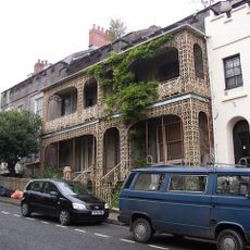
Nos 8 and 8A Spring Gardens, including area railings
251 m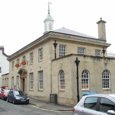
The Post Office
252 m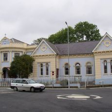
Tabernacle Church School
191 m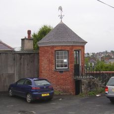
Gazebo to NE of No. 33 Hill Lane
198 m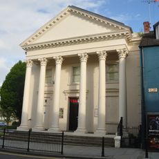
The Former Masonic Hall
296 m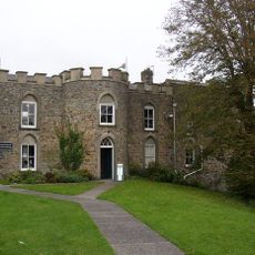
The Governor's House
34 m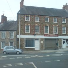
Cromwell House, Nos. 1 and 3 City Road
185 m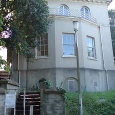
Foley House
240 m
The Liberal Chambers
162 m
Forecourt Dwarf Wall And Railings To Tabernacle Church And To Tabernacle Church School
179 m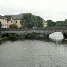
New Bridge and four lamp standards
226 m
No. 6 High Street (Premises Occupied By S. D. Pugh And Son), Haverfordwest
153 m
No.45 High Street, Haverfordwest, Pembrokeshire
162 mReviews
Visited this place? Tap the stars to rate it and share your experience / photos with the community! Try now! You can cancel it anytime.
Discover hidden gems everywhere you go!
From secret cafés to breathtaking viewpoints, skip the crowded tourist spots and find places that match your style. Our app makes it easy with voice search, smart filtering, route optimization, and insider tips from travelers worldwide. Download now for the complete mobile experience.

A unique approach to discovering new places❞
— Le Figaro
All the places worth exploring❞
— France Info
A tailor-made excursion in just a few clicks❞
— 20 Minutes