
Midland Bank, Grade II listed building in Torfaen County Borough. In the Pontypool town centre at the junction of Commercial Street and Crane Street.
Location: Pontymoile
Elevation above the sea: 131.5 m
GPS coordinates: 51.70314,-3.04118
Latest update: September 25, 2025 07:43

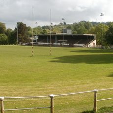
Pontypool Park
504 m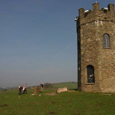
The Folly Tower
2 km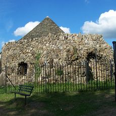
Shell Grotto
1.3 km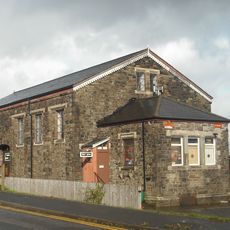
Griffithstown Railway Museum
1.3 km
Town Hall
213 m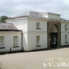
Torfaen Museum
122 m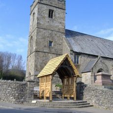
Church of St. Cadoc
1 km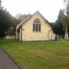
Church Of St Michael And All Angels
2 km
St. Alban's R.C. Church
386 m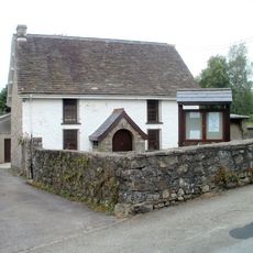
Penygarn Baptist Chapel
662 m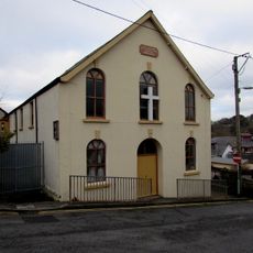
Upper Trosnant Baptist Church
379 m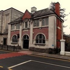
Pontypool Library
196 m
The Horse and Jockey P H
2 km
Junction House at Pontymoile Canal Basin, Monmouthshire and Brecon Canal
1.4 km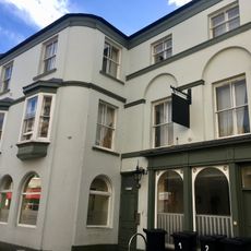
The Greyhound PH
56 m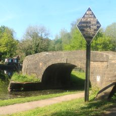
Bridge 53 at Pontymoile Basin, Monmouthshire and Brecon Canal
1.3 km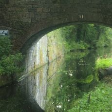
Canal Bridge at Coed-y-Gric
1.5 km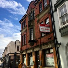
The George
66 m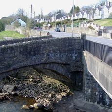
Pont Newynydd
1 km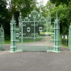
Entrance Gates To Pontypool Park.
1 km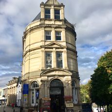
Barclay's Bank
34 m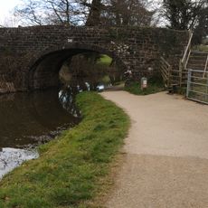
Bridge 56, Monmouthshire and Brecon Canal
1.7 km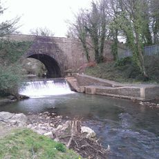
Aqueduct over Afon Lwyd, Monmouthshire and Brecon Canal
1.4 km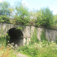
Old railway bridge at Coed-y-Gric
1.5 km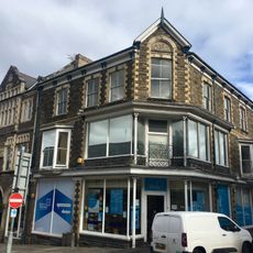
Manchester House, including Mayberry Pharmacy and the Good Job Club
107 m
Old Market House (Second Thoughts)
12 m
Crane Street Baptist Chapel
82 m
Panteg Cemetery Chapel
1.6 kmReviews
Visited this place? Tap the stars to rate it and share your experience / photos with the community! Try now! You can cancel it anytime.
Discover hidden gems everywhere you go!
From secret cafés to breathtaking viewpoints, skip the crowded tourist spots and find places that match your style. Our app makes it easy with voice search, smart filtering, route optimization, and insider tips from travelers worldwide. Download now for the complete mobile experience.

A unique approach to discovering new places❞
— Le Figaro
All the places worth exploring❞
— France Info
A tailor-made excursion in just a few clicks❞
— 20 Minutes