
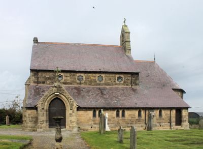
St Mary's Church, grade II listed building in Treuddyn, St Mary's Church is located within its own graveyard on the south side of Ffordd-y-Bont and to the south-east of the village centre
Location: Treuddyn
Elevation above the sea: 225 m
GPS coordinates: 53.11473,-3.11603
Latest update: April 2, 2025 23:15
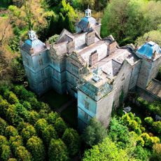
Plas Teg
3.7 km
Caergwrle Castle
5.4 km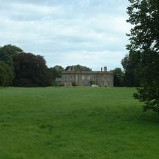
Leeswood Hall
3.3 km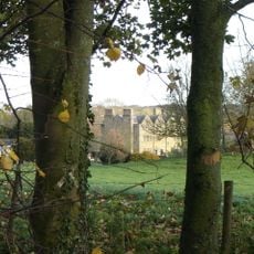
Nerquis Hall
2.3 km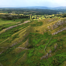
Bryn Alyn
5.7 km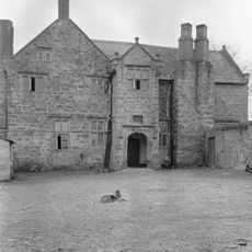
Fferm Farmhouse
3.4 km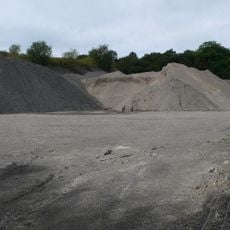
Graig quarry
5.1 km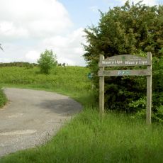
Waun-Y-Llyn Country Park
2.9 km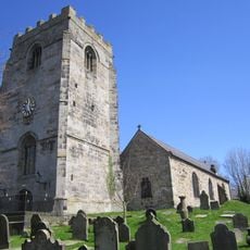
St Cyngar's Church
5.6 km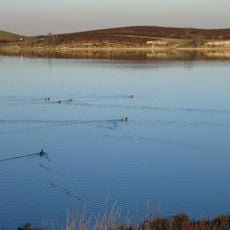
Llyn Cyfynwy
5 km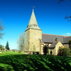
St Mary's Parish Church,
3 km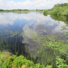
Nant-y-Ffrith Reservoir
5.1 km
Plas Du
5.7 km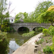
Bridge End Bridge
5.6 km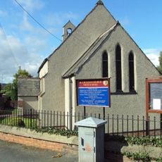
St. Cecilia's Church
5.8 km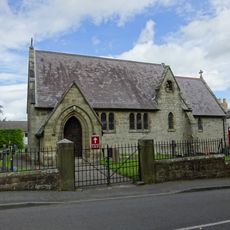
Christ Church
4.9 km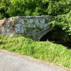
Ffrith Bridge
4.3 km
Bridge over River Terrig at former N Driveway to Leeswood Hall
3.9 km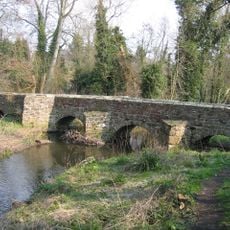
Pack Horse Bridge, Hope, Flintshire
5.2 km
Former Prison Gatehouse & Governor's Residence (Now Greystones & St.David's) Upper Bryn Coch
5.5 km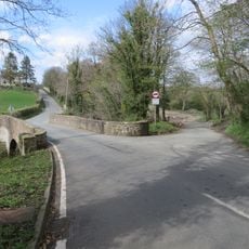
Pont Terrig, Ffordd Nercwys, Pentre
1.7 km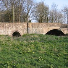
Llong Bridge
4.4 km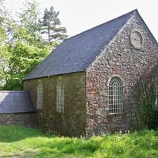
Tabernacl Welsh Independent Chapel
4.2 km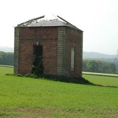
Former Dovecote S of Leeswood Hall
3.1 km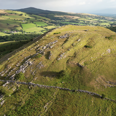
Bryn Alyn
5.5 km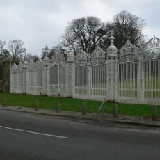
White Gates, Screens And Piers Nw Of Leeswood Hall
3.5 km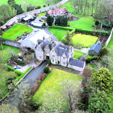
Former Prison Workshop to Rear of Greystones& St.David's,Upper Bryn Coch
5.4 km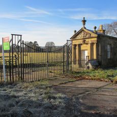
Pair Of Lodges Flanking N Driveway To Leeswood Hall
3.9 kmVisited this place? Tap the stars to rate it and share your experience / photos with the community! Try now! You can cancel it anytime.
Discover hidden gems everywhere you go!
From secret cafés to breathtaking viewpoints, skip the crowded tourist spots and find places that match your style. Our app makes it easy with voice search, smart filtering, route optimization, and insider tips from travelers worldwide. Download now for the complete mobile experience.

A unique approach to discovering new places❞
— Le Figaro
All the places worth exploring❞
— France Info
A tailor-made excursion in just a few clicks❞
— 20 Minutes