
High Rocks, hillfort in Kent
Location: Kent
Part of: Prehistoric rock shelters and a multivallate hillfort at High Rocks, 309m ESE of High Rocks Inn
GPS coordinates: 51.12230,0.22950
Latest update: April 6, 2025 17:05
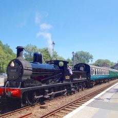
Spa Valley Railway
554 m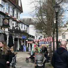
The Pantiles
2 km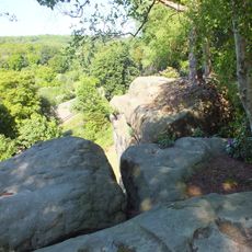
High Rocks
231 m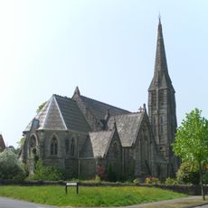
St Mark's Church, Royal Tunbridge Wells
1.7 km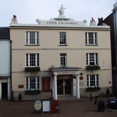
The Corn Exchange
2 km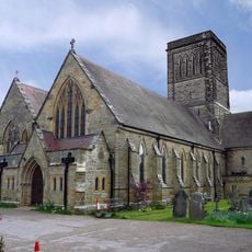
St Paul's Church
1.1 km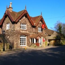
High Rocks Inn
293 m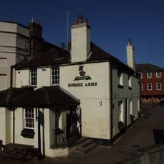
The Sussex Arms Public House
2 km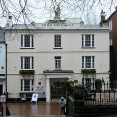
Theatre, Tunbridge Wells
2 km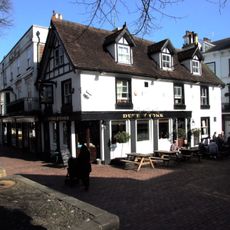
Duke Of York Public House
2.1 km
The Wellington Hotel
1.9 km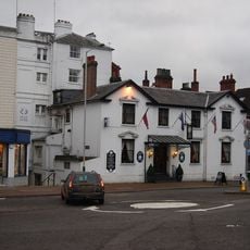
The Swan Hotel
2 km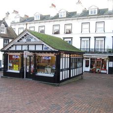
The Old Fishmarket
2 km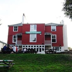
Mount Edgcombe
2.1 km
55-63, Lower Green Road
1.9 km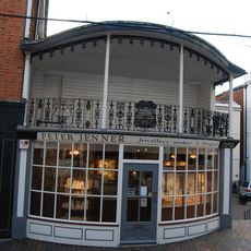
43, The Pantiles
2 km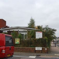
Rusthall Library
1.5 km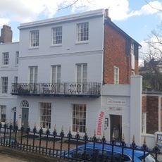
Glen Albion Sussex House Sussex Place
2 km
60-72, The Pantiles
2 km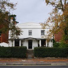
79, Mount Ephraim
2 km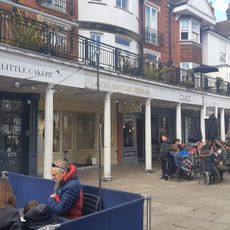
Colonnade Between Nos 28 And 38
2 km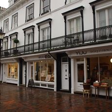
21-29, The Pantiles
2.1 km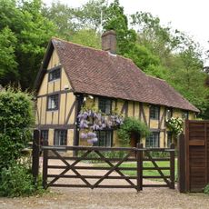
Hole Farmhouse
2 km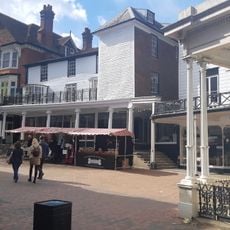
12-16, The Pantiles
2.1 km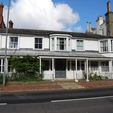
The Chalet
1.9 km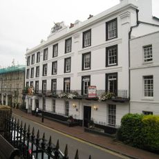
51-55, The Pantiles
2 km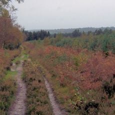
Broadwater Warren RSPB Reserve
1.2 km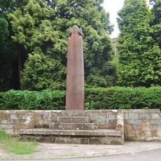
Wall And War Memorial In Front Of St Paul's Church
1.1 kmReviews
Visited this place? Tap the stars to rate it and share your experience / photos with the community! Try now! You can cancel it anytime.
Discover hidden gems everywhere you go!
From secret cafés to breathtaking viewpoints, skip the crowded tourist spots and find places that match your style. Our app makes it easy with voice search, smart filtering, route optimization, and insider tips from travelers worldwide. Download now for the complete mobile experience.

A unique approach to discovering new places❞
— Le Figaro
All the places worth exploring❞
— France Info
A tailor-made excursion in just a few clicks❞
— 20 Minutes