
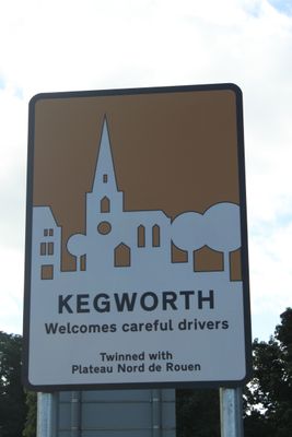
Kegworth, civil parish in North West Leicestershire, Leicestershire, England
Location: North West Leicestershire
Website: https://kegworthparishcouncil.co.uk
GPS coordinates: 52.83799,-1.28564
Latest update: March 23, 2025 17:51
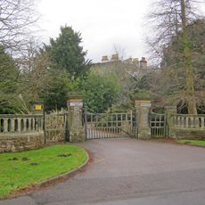
Lockington Hall
1.9 km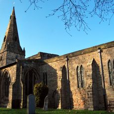
Holy Trinity Church, Ratcliffe-on-Soar
2.3 km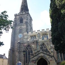
Church of St Andrew
593 m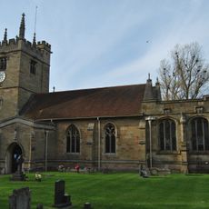
St. Winifred's Church, Kingston on Soar
2.1 km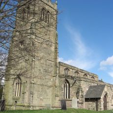
Church of St Nicholas
1.7 km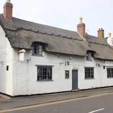
Cottage Restaurant
464 m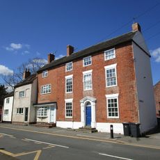
Flat 1 Flat 2 Flat 3
355 m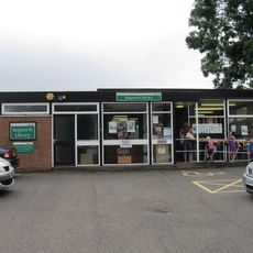
Kegworth Library
352 m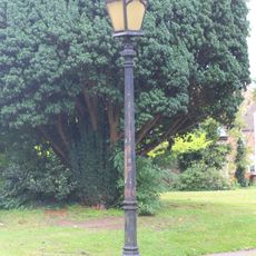
Lamp Post Approximately 5 Metres South Of Porch Of Church Of St Andrew
587 m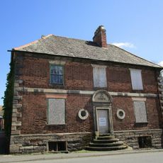
The Great House
697 m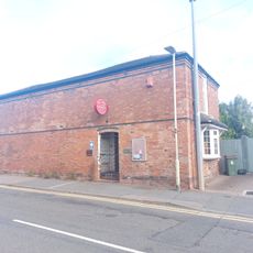
Kegworth Heritage Centre
392 m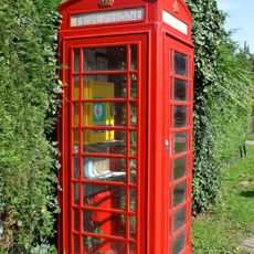
K6 Telephone Kiosk
2 km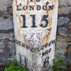
Milepost Opposite Junction With Borough Street
453 m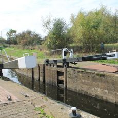
Kegworth Shallow Lock
1.2 km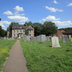
The Old Vicarage
1.7 km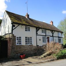
Harrison House
612 m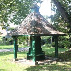
Pumphouse
2.1 km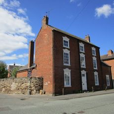
Lodge Farmhouse
733 m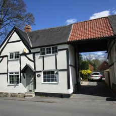
8, Nottingham Road
647 m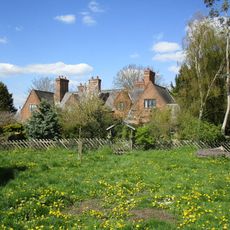
21, 23, 25 And 27, The Green
2.1 km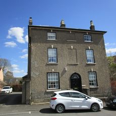
20, Market Place
676 m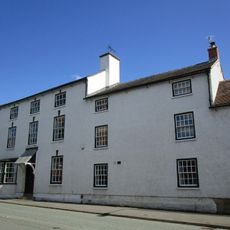
The Cedars
738 m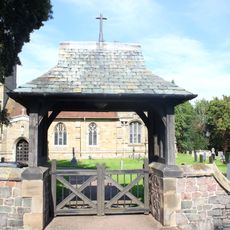
Lychgate At Entrance To Churchyard Of Church Of St Winifred
2.1 km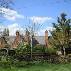
9, 11, 15, 17 And 19, The Green
2.1 km
Old Lock River Soar
980 m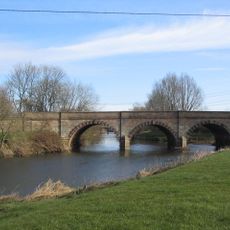
Kegworth Bridge
1.1 km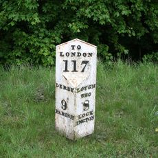
Milepost Approximately 400 Metres South East Of Junction With Netherfield Lane
2.2 km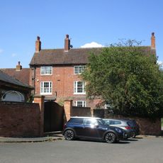
Daleacre Farmhouse
1.8 kmVisited this place? Tap the stars to rate it and share your experience / photos with the community! Try now! You can cancel it anytime.
Discover hidden gems everywhere you go!
From secret cafés to breathtaking viewpoints, skip the crowded tourist spots and find places that match your style. Our app makes it easy with voice search, smart filtering, route optimization, and insider tips from travelers worldwide. Download now for the complete mobile experience.

A unique approach to discovering new places❞
— Le Figaro
All the places worth exploring❞
— France Info
A tailor-made excursion in just a few clicks❞
— 20 Minutes