
Combs Reservoir, reservoir in Derbyshire, England, UK
Location: Chapel-en-le-Frith
Inception: 1797
Elevation above the sea: 216 m
Part of: Peak Forest Canal
GPS coordinates: 53.31342,-1.94595
Latest update: April 25, 2025 04:33

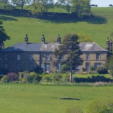
Ollerenshaw Hall
1.6 km
The Royal Oak Inn
2.3 km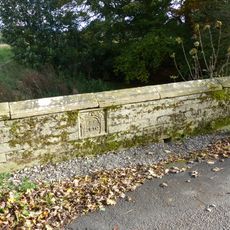
Bridge on Bank Hall Drive adjacent to Down Lee Farm
1.6 km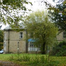
Bank Hall
1.6 km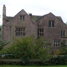
Bradshaw Hall
1.1 km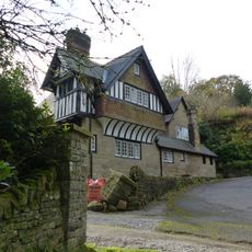
Bank Hall Lodge
1.6 km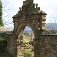
Bradshaw Hall Gateway
1.1 km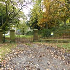
Gates, gate piers and screen to Bank Hall
1.5 km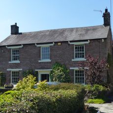
Sparkbottom Farmhouse
824 m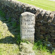
Milestone At Tunstead Milton
548 m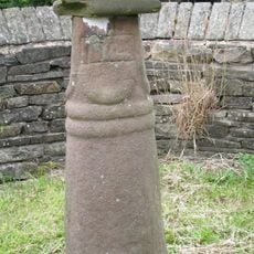
Anglo Scandinavian high cross known as the Shall Cross
2.1 km
Promontory fort on Combs Edge
2 km
War Memorial
2.3 km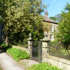
Old Brook House
1.3 km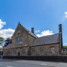
Primary School
2.1 km
Williams And Glynn's Bank
2.3 km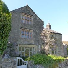
Spire Hollins and attached outbuildings
796 m
Market Cross
2.3 km
16, High Street
2.2 km
Village Stocks
2.3 km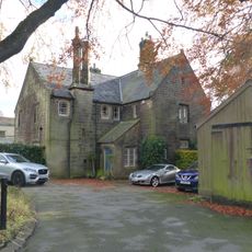
The Vicarage
2.1 km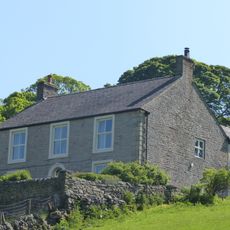
The Old Farmhouse
801 m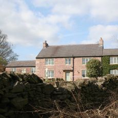
Lidgate Farmhouse
1.6 km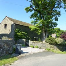
Barn at Spire Hollins Farmhouse
780 m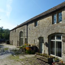
Barn At Brook House Farm
1.3 km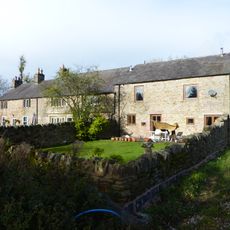
Marsh Hall And Barn
1.3 km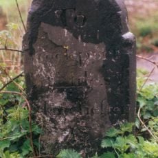
Milestone, Chapel Road; E of Whaley Bridge
2 km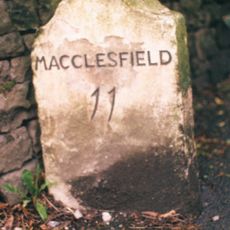
Milestone, Lower Crossing, one mile W of Townend
1.2 kmReviews
Visited this place? Tap the stars to rate it and share your experience / photos with the community! Try now! You can cancel it anytime.
Discover hidden gems everywhere you go!
From secret cafés to breathtaking viewpoints, skip the crowded tourist spots and find places that match your style. Our app makes it easy with voice search, smart filtering, route optimization, and insider tips from travelers worldwide. Download now for the complete mobile experience.

A unique approach to discovering new places❞
— Le Figaro
All the places worth exploring❞
— France Info
A tailor-made excursion in just a few clicks❞
— 20 Minutes