
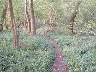
Holwell Mouth, Site of Special Scientific Interest in Leicestershire, England, UK
Location: Ab Kettleby
Location: Clawson, Hose and Harby
GPS coordinates: 52.81300,-0.92700
Latest update: March 2, 2025 23:25
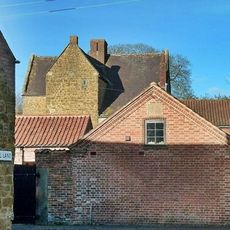
Ab Kettleby Manor
1.4 km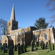
Church of St James the Greater
1.6 km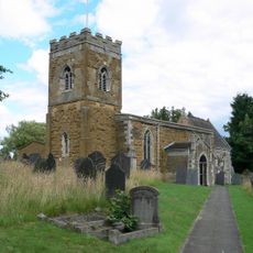
St Luke's Church, Upper Broughton
4.4 km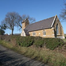
Church of St Bartholomew
3.5 km
Church of St Leonard
1.4 km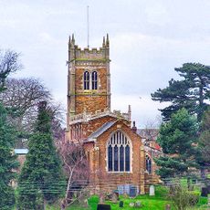
Church of St Egelwin the Martyr
3.9 km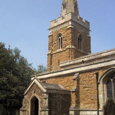
Church of St Peter
4.2 km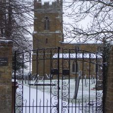
Church of St Mary
3.3 km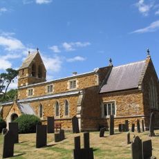
Church of St Michael
1.8 km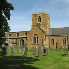
Church of St Remigius
2.7 km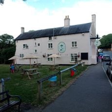
Crown And Plough Inn
3 km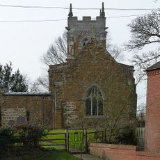
Church of St John the Baptist
4.6 km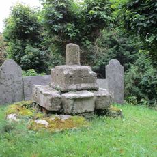
Base And Shaft Of Cross Immediately South Of Church Of St John The Baptist
4.7 km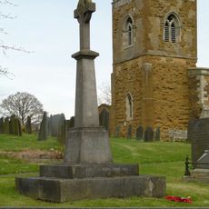
Upper Broughton War Memorial
4.4 km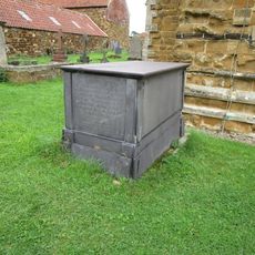
Chest Tomb Approximately 2 Metres West Of Tower Of Church Of St Michael
1.8 km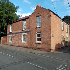
Manor House
3 km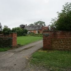
Church Farmhouse
4.1 km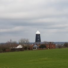
Wind Mill At Mill Farm
2.3 km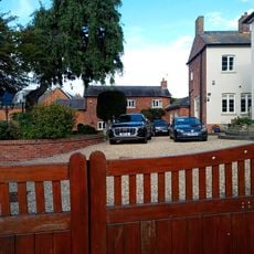
Simons House
3.1 km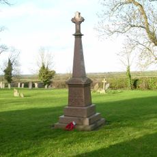
Nether Broughton War Memorial
3.3 km
Manor Farmhouse
2.6 km
Church Farmhouse
4.7 km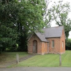
Former Schoolroom
4.2 km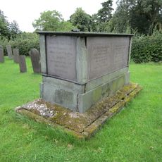
Chest Tomb Approximately 3 Metres South West Of South West Angle Of Church Of St Michael
1.8 km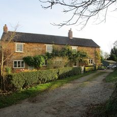
Ivy House Farmhouse
1.5 km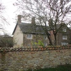
Nether Hall Farmhouse
3.8 km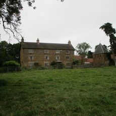
Church Farmhouse
1.8 km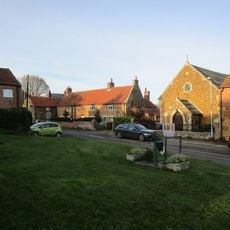
York Cottage, Crecca And Cottage Adjoining (Number 19, Hack Cottage)
1.4 kmVisited this place? Tap the stars to rate it and share your experience / photos with the community! Try now! You can cancel it anytime.
Discover hidden gems everywhere you go!
From secret cafés to breathtaking viewpoints, skip the crowded tourist spots and find places that match your style. Our app makes it easy with voice search, smart filtering, route optimization, and insider tips from travelers worldwide. Download now for the complete mobile experience.

A unique approach to discovering new places❞
— Le Figaro
All the places worth exploring❞
— France Info
A tailor-made excursion in just a few clicks❞
— 20 Minutes