
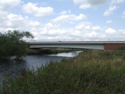
Rugeley bypass River Trent bridge, road bridge in Staffordshire
Location: Staffordshire
Inception: 2007
GPS coordinates: 52.77555,-1.94510
Latest update: September 23, 2025 16:47
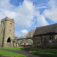
Remains of Old Church of St Augustine
1.4 km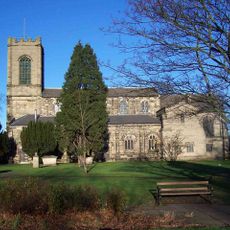
Church of St Augustine of Canterbury
1.4 km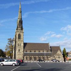
St Joseph and St Etheldreda, Rugeley
2 km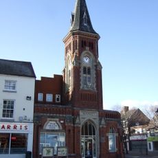
Rugeley Town Hall
1.8 km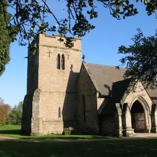
Church of St Mary
1.1 km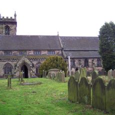
Parish Church of St Michael and All Angels, Colwich
3 km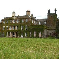
Bishton Hall
1.7 km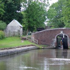
Trent and Mersey Canal Colwich Bridge Number 71
3.2 km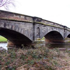
Wolseley Bridge
1.8 km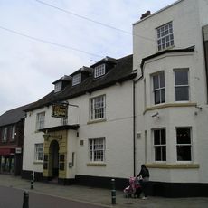
Shrewsbury Arms Hotel. Coach House Block Of Shrewsbury Arms Hotel
1.8 km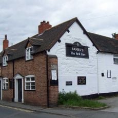
Red Lion Inn
1.7 km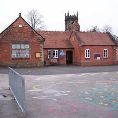
Church of England Primary School
3 km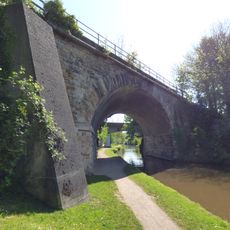
Viaduct Over Trent And Mersey Canal At Sk 0485 1780
2.2 km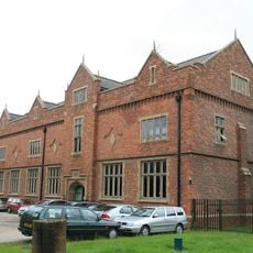
Brindley Bank Pumping Station
295 m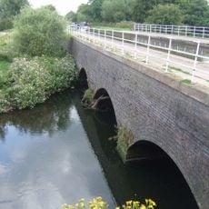
Brindley Bank Aqueduct
262 m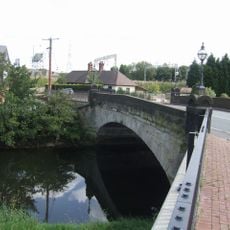
Colton Mill Bridge
1.4 km
32 And 34, Market Street
1.7 km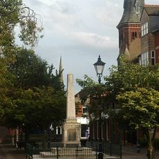
Rugeley War Memorial
1.8 km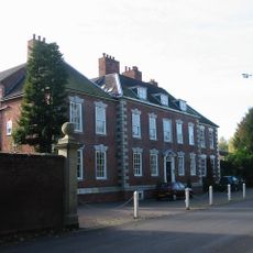
Colton House
1.3 km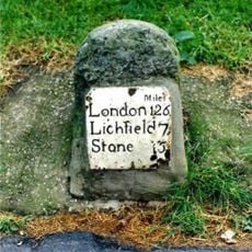
Mile Stone (1 Mile From Rugeley)
2.6 km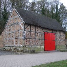
Barn to south east of Wolseley Arms
1.8 km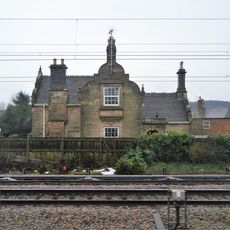
Former Railway Station House
3.1 km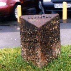
Milepost, SE of Mossley, Rugeley
3.1 km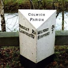
Milepost, W of Wolseley Arms PH
2 km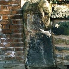
Milestone, Wolseley Bridge Farm, between Colwich & Wolsley Bridge
2 km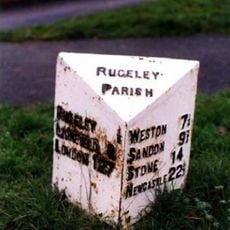
Milepost, half mile N of Rugeley town centre
1.2 km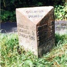
Milepost, between Wolsley Bridge & Rugeley
675 m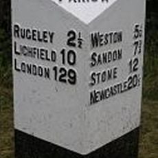
Milepost, between Colwich & Wolsley Bridge
2.1 kmReviews
Visited this place? Tap the stars to rate it and share your experience / photos with the community! Try now! You can cancel it anytime.
Discover hidden gems everywhere you go!
From secret cafés to breathtaking viewpoints, skip the crowded tourist spots and find places that match your style. Our app makes it easy with voice search, smart filtering, route optimization, and insider tips from travelers worldwide. Download now for the complete mobile experience.

A unique approach to discovering new places❞
— Le Figaro
All the places worth exploring❞
— France Info
A tailor-made excursion in just a few clicks❞
— 20 Minutes