
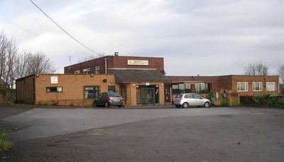
Bramley Villagers Community Club, club in Leeds, West Yorkshire
Location: Leeds
Address: Bramley Villagers Community Club, 340 Broad Lane, Bramley, Leeds, LS13 2HF LS13 2HF
GPS coordinates: 53.81696,-1.63113
Latest update: March 8, 2025 05:20
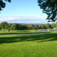
Bramley Park
484 m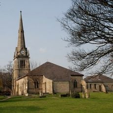
Church of St Peter
658 m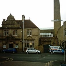
Bramley Baths
590 m
Bramley Library
732 m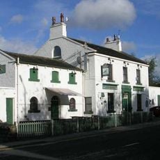
Rock Inn And Former Stables
418 m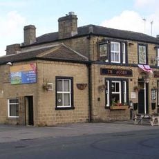
Acorn Inn
367 m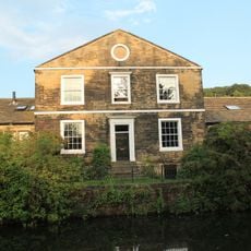
Whitecote House
772 m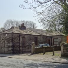
257, Upper Town Street
450 m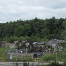
Kirkstall Forge Forge Buildings With Helve Hammers, Slitting Mill Machinery
1 km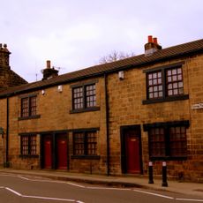
359-367, Upper Town Street
354 m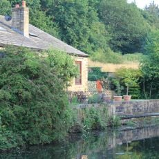
Revetment Wall To Whitecote House With Railings And Gate To Canal
782 m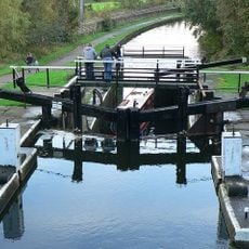
Forge Locks
937 m
428 And 430, Broad Lane
678 m
Hough Lane Centre
834 m
259, Upper Town Street
449 m
327 And 329, Upper Town Street
353 m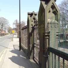
Gate Piers, Gate, Wall And Railings To North Of Hough Lane Centre
808 m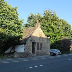
112, Lower Town Street
868 m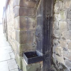
Stocks Hill Pump
733 m
261, Upper Town Street
436 m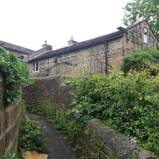
Warrels House
440 m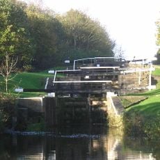
Newlay Locks
1 km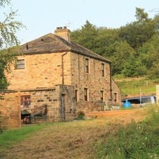
Stables Approximately 10 Metres South East Of Whitecote House
739 m
Number 331 And Attached Wall
346 m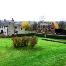
34 And 36, Rock Lane
621 m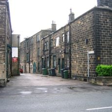
2-18, Haleys Yard
339 m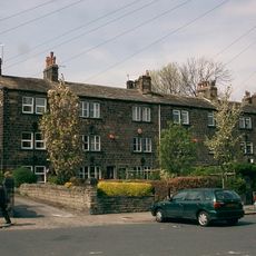
2-14, Moorfields
366 m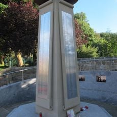
Bramley War Memorial
433 mVisited this place? Tap the stars to rate it and share your experience / photos with the community! Try now! You can cancel it anytime.
Discover hidden gems everywhere you go!
From secret cafés to breathtaking viewpoints, skip the crowded tourist spots and find places that match your style. Our app makes it easy with voice search, smart filtering, route optimization, and insider tips from travelers worldwide. Download now for the complete mobile experience.

A unique approach to discovering new places❞
— Le Figaro
All the places worth exploring❞
— France Info
A tailor-made excursion in just a few clicks❞
— 20 Minutes